The Daily Standard
World News

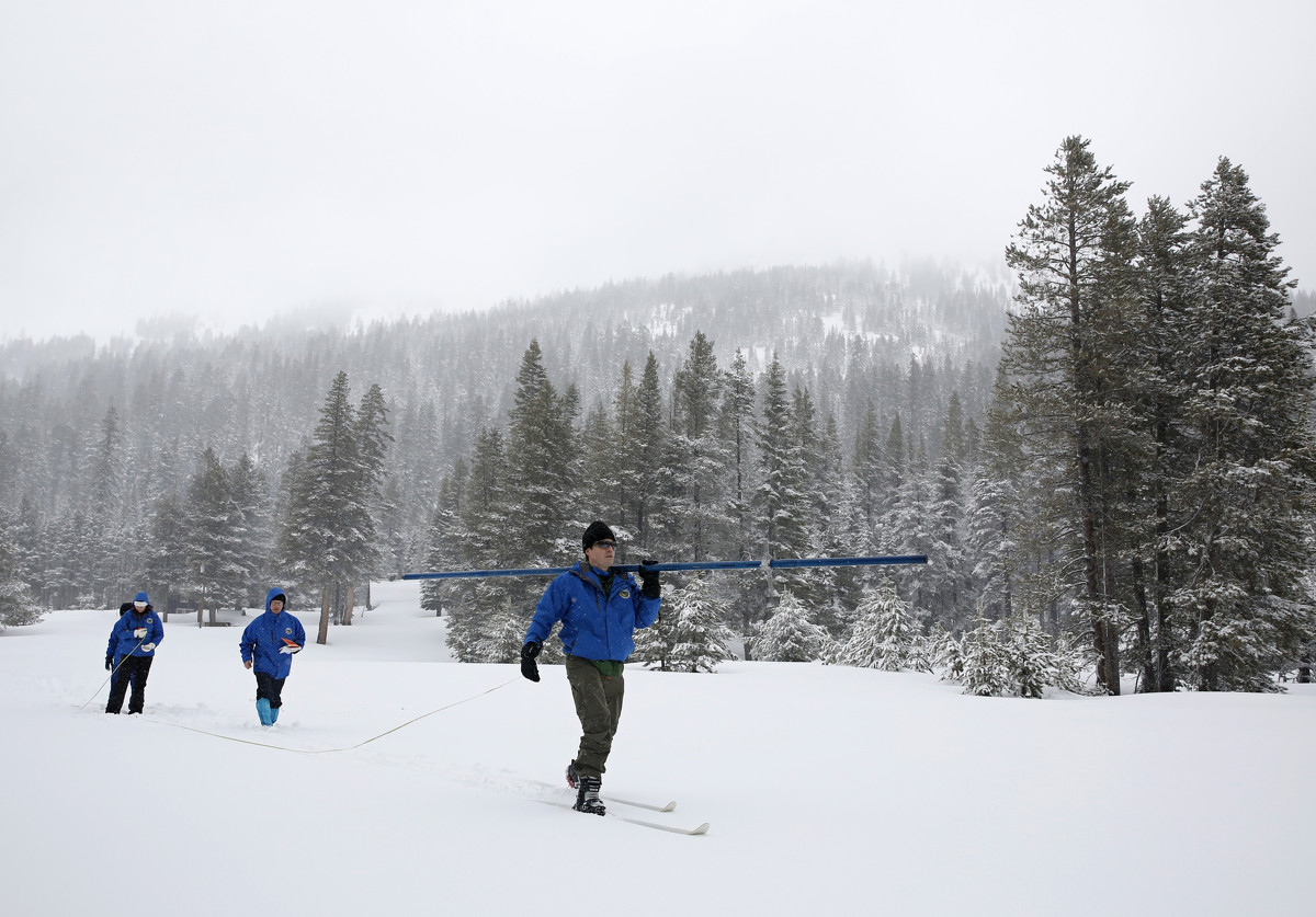
In this Feb. 28, 2019, file photo, John King, right, of the Department of Water Resources, carries the snowpack measuring tube as he crosses a meadow while conducting the third manual snow survey of the season at the Phillips Station near Echo Summit, Calif. The survey found the snowpack at 113 inches deep with a snow water equivalent of 43.5 inches at this location at this time of year. California water officials say the amount of snow blanketing the Sierra Nevada is even bigger than the 2017 snowpack that pulled the state out of a five-year drought. The Department of Water Resources says as of May 30, 2019, the Sierra snowpack measured 202% of average after a barrage of wet storms. (AP Photo/Rich Pedroncelli, File)
SAN FRANCISCO (AP) - The amount of snow blanketing the Sierra Nevada is even larger than the 2017 snowpack that pulled the state out of a five-year drought, California water officials said.
As of Thursday, the snowpack measured 202% of average after a barrage of storms throughout winter and spring, according to the Department of Water Resources.
The wet weather has slowed but not stopped, with thunderstorms prompting flash flood warnings Sunday in the central and southern parts of the state.
At this time last year, the snowpack measured 6% of average - making this year 33 times bigger than 2018, the San Francisco Chronicle reported.
In 2017, the snowpack measured 190% of average.
The snowpack supplies about 30 percent of state water needs.
In the Tahoe Basin, Squaw Valley ski resort has seen so much snow it plans to keep its slopes open until least July 5. In May alone, Squaw recorded 37 inches (94 centimeters).
State officials consider the most important snowpack measurement to be the one taken around April 1 because that's typically when storm activity subsides.
"And then after that the sun's highest position in the sky contributes to rapid melting. This year, that didn't happen and we had late season snow," National Weather Service forecaster Idamis Del Valle told the newspaper.
This year's April 1 reading put the snowpack at 176% of average, making it the fifth-largest on that date, with records going back to 1950, the Chronicle said.
___
Information from: San Francisco Chronicle
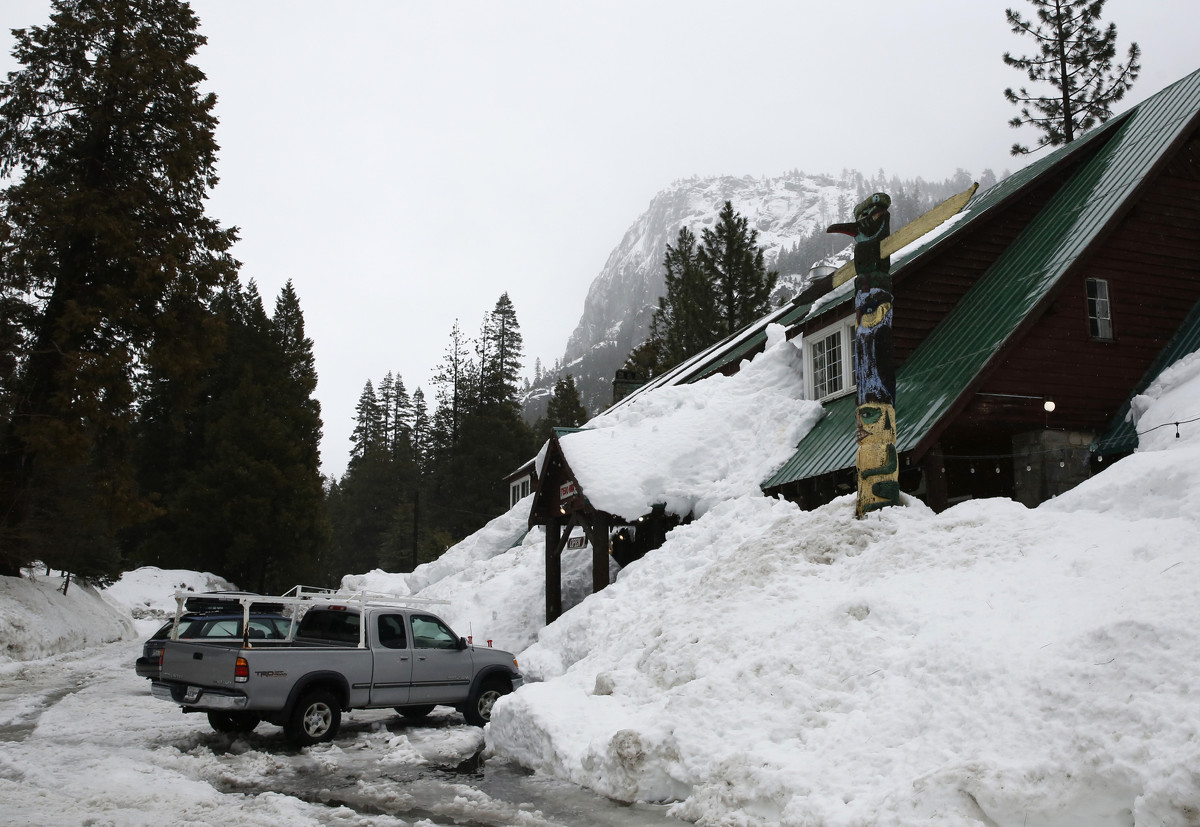
In this Feb. 28, 2019, file photo, snow from storms is piled up as high as the eves of the Strawberry Lodge at Strawberry, Calif. California water officials say the amount of snow blanketing the Sierra Nevada is even bigger than the 2017 snowpack that pulled the state out of a five-year drought. The Department of Water Resources says as of May 30, 2019, the Sierra snowpack measured 202% of average after a barrage of wet storms. The San Francisco Chronicle reports that at this time last year, it measured 6 percent of average, making this year's 33 times bigger than 2018. In 2017, the snowpack measured 190 percent of average. (AP Photo/Rich Pedroncelli, File)
