The Daily Standard
Pictures Archive

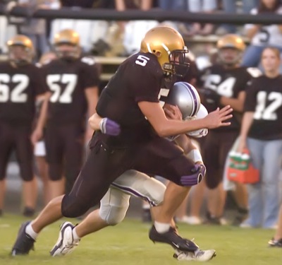
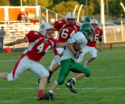
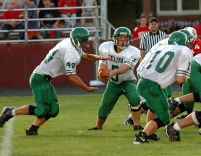
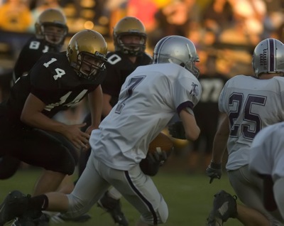
Parkway quarterback Jordan Thompson, 5, tries to run through a tackle from a Fort Recovery player during their Midwest Athletic Conference contest on Friday night. Thompson had one rushing touchdown and one passing score in Parkway's 33-13 win.