Freeze Watch issued April 6 at 8:29PM EDT until April 8 at 10:00AM EDT by NWS Wilmington OH (details ...)
* WHAT...Sub-freezing temperatures are forecast in the lower and middle 20s.
* WHERE...Portions of east central and southeast Indiana, northeast and northern Kentucky, and central, south central, southwest, and west central Ohio.
* WHEN...From late Monday night through Tuesday morning.
* IMPACTS...Frost and freeze conditions could kill crops, other sensitive vegetation and possibly damage unprotected outdoor plumbing.
32° 32° slight chance Mon 52° Mon 52° 24° 24° Tue 41° Tue 41°
Thursday, March 6th, 2008
Cold and snowy
Photo by Shelley Grieshop/The Daily Standard

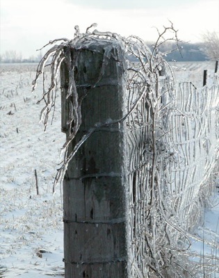
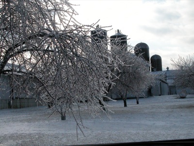
A fence row along Coldwater Creek Road shines like glass as the sun hits it Wednesday afternoon, just east of Coldwater. Today's temperature is expected to reach a high of 36 degrees, according to local weather forecaster Dennis Howick. But beware: another storm is moving into the area on Friday with 1-3 inches of snow expected locally. Heavy ice on branches and power lines caused outages across the Grand Lake area Tuesday night but did more damage to neighboring counties to the south and southeast.

Additional pictures on this date