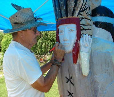
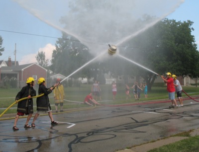
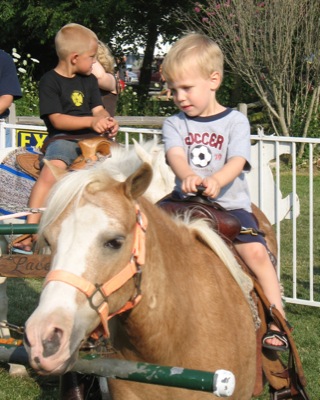
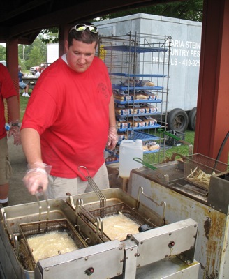
Severe Thunderstorm Warning issued March 26 at 8:27PM EDT until March 26 at 9:15PM EDT by NWS Wilmington OH (details ...)
SVRILN
The National Weather Service in Wilmington has issued a
* Severe Thunderstorm Warning for... Shelby County in west central Ohio... Southwestern Logan County in west central Ohio... Northeastern Darke County in west central Ohio... Southwestern Auglaize County in west central Ohio... Southeastern Mercer County in west central Ohio...
* Until 915 PM EDT.
* At 827 PM EDT, a severe thunderstorm was located over New Bremen, moving east at 45 mph.
HAZARD...Golf ball size hail and 60 mph wind gusts.
SOURCE...Radar indicated.
IMPACT...People and animals outdoors will be injured. Expect hail damage to roofs, siding, windows, and vehicles. Expect wind damage to trees and power lines.
* Locations impacted include... Sidney, New Bremen, Minster, Newport, Anna, Fort Loramie, Jackson Center, De Graff, Botkins, New Knoxville, Hardin, Quincy, Russia, Port Jefferson, Osgood, Kettlersville, Lockington, Yorkshire, Montra, and Newbern.
Tornado Watch issued March 26 at 7:37PM EDT until March 26 at 11:00PM EDT by NWS Wilmington OH (details ...)
TORNADO WATCH 75 REMAINS VALID UNTIL 11 PM EDT THIS EVENING FOR THE FOLLOWING AREAS
IN OHIO THIS WATCH INCLUDES 8 COUNTIES
IN CENTRAL OHIO
DELAWARE LICKING UNION OH
IN WEST CENTRAL OHIO
AUGLAIZE HARDIN LOGAN MERCER SHELBY
THIS INCLUDES THE CITIES OF ADA, BELLEFONTAINE, CELINA, COLDWATER, DELAWARE, KENTON, MARYSVILLE, NEWARK, SIDNEY, ST. MARYS, AND WAPAKONETA.
Severe Thunderstorm Warning issued March 26 at 8:18PM EDT until March 26 at 9:00PM EDT by NWS Wilmington OH (details ...)
SVRILN
The National Weather Service in Wilmington has issued a
* Severe Thunderstorm Warning for... Northeastern Shelby County in west central Ohio... Northern Logan County in west central Ohio... Northwestern Union County in central Ohio... Hardin County in west central Ohio... Auglaize County in west central Ohio...
* Until 900 PM EDT.
* At 818 PM EDT, severe thunderstorms were located along a line extending from near Upper Sandusky to near Kenton to St. Marys, moving east at 50 mph.
HAZARD...60 mph wind gusts and quarter size hail.
SOURCE...Radar indicated.
IMPACT...Minor hail damage to vehicles is possible. Expect wind damage to trees and power lines.
* Locations impacted include... Wapakoneta, St. Marys, Kenton, Ada, Cridersville, Jackson Center, Forest, Russells Point, Botkins, Lakeview, New Knoxville, Dunkirk, Alger, Waynesfield, Belle Center, Chippewa Park, Northwood, Moulton, Blanchard, and Roundhead.
35° 35° Fri 45° Fri 45° 27° 27° Sat 47° Sat 47°
Monday, July 28th, 2008
Photo by Mark Pummell/The Daily Standard

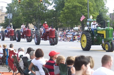
Antique tractors roll through downtown Celina. Tractors, Goldwing motorcycles and collectibles cars created their own parade Saturday at the Lake Festival.

Related online story:
Lower temperatures and sunny skies prevailed throughout the three-day Celina Lake Festival, which helped bring out large crowds for the numerous activities, festival co-chairwoman Michelle Emerine reported this morning. [More]
Additional pictures on this date