Special Weather Statement issued May 1 at 8:06PM EDT by NWS Wilmington OH (details ...)
At 806 PM EDT, a strong thunderstorm was located over Monroe, moving northeast at 35 mph. HAZARD...Wind gusts up to 45 mph and pea size hail. SOURCE...Radar indicated. IMPACT...Gusty winds could knock down tree limbs and blow around unsecured objects. Hail may cause minor damage to vegetation. This storm will remain over mainly rural areas of northwestern Mercer County. If outdoors, consider seeking shelter inside a sturdy building. To report hazardous weather conditions, go to our website at weather.gov/iln and submit your report via social media, when you can do so safely.
Tuesday, December 23rd, 2008
Photo by Mark Pummell/The Daily Standard
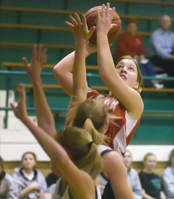
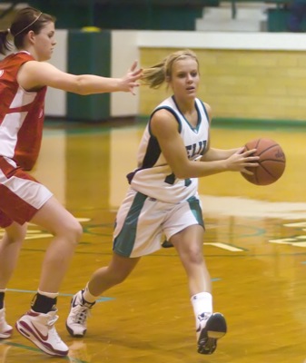
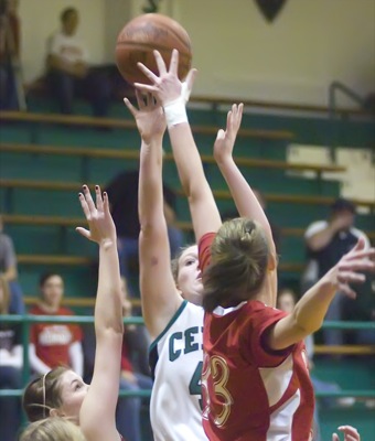
St. Henry's Becky Dirksen shoots the ball over a Celina defender. The Redskins and Bulldogs battled throughout the game before Celina picked up its fourth win of the season with a two-point win over the Redskins.