Special Weather Statement issued February 8 at 1:37PM EST by NWS Wilmington OH (details ...)
At 136 PM EST, a strong thunderstorm was located near Newport, moving east at 70 mph.
HAZARD...Pea size hail.
SOURCE...Radar indicated.
IMPACT...Hail may cause minor damage to vegetation.
Locations impacted include... Sidney, New Bremen, Minster, Versailles, Newport, Anna, Fort Loramie, Jackson Center, Botkins, Hardin, Russia, Port Jefferson, Osgood, Chickasaw, Kettlersville, Yorkshire, Montra, Newbern, Egypt, and Maria Stein.
This includes I-75 in Ohio between mile markers 89 and 104.
If outdoors, consider seeking shelter inside a sturdy building.
To report hazardous weather conditions, go to our website at weather.gov/iln and submit your report via social media, when you can do so safely.
Winter Weather Advisory issued February 8 at 8:46AM EST until February 9 at 12:00AM EST by NWS Wilmington OH (details ...)
* WHAT...Freezing rain expected. Total ice accumulations one to two tenths of an inch.
* WHERE...Auglaize, Hardin, Logan, Mercer, and Shelby Counties.
* WHEN...Until midnight EST tonight.
* IMPACTS...Roads, and especially bridges and overpasses, will likely become slick and hazardous. Plan on slippery road conditions.
Today 34° Today 34° 23° 23° chance Tomorrow 33° Tomorrow 33° 18° 18°
Saturday, September 26th, 2009
Photo by Dave Heirholzer/The Daily Standard

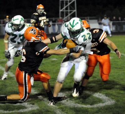
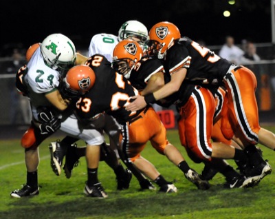
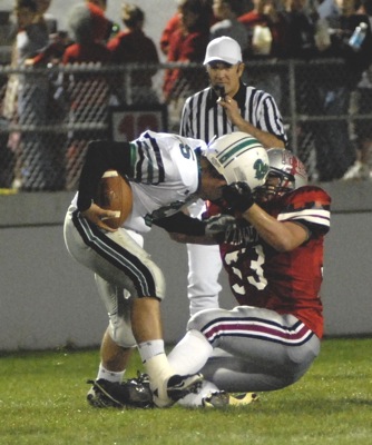
Coldwater's Kyle Post, left, puts a big hit on an Anna ball carrier during their Midwest Athletic Conference matchup on Friday night at Cavalier Stadium. The Cavaliers beat the Rockets, 27-13.

Additional pictures on this date