Severe Thunderstorm Warning issued July 26 at 8:28PM EDT until July 26 at 8:45PM EDT by NWS Wilmington OH (details ...)
At 827 PM EDT, a severe thunderstorm was located near Fort Recovery, moving east at 20 mph.
HAZARD...60 mph wind gusts.
SOURCE...Radar indicated.
IMPACT...Expect damage to trees and power lines.
Locations impacted include... Greenville, St. Henry, Union City, Fort Recovery, Ansonia, Burkettsville, North Star, Rossburg, New Weston, North Dayton, Rose Hill, Cosmos, Brock, State Route 47 at US Route 127, Eldora Speedway, Pikeville, and Darke County Airport.
Special Weather Statement issued July 26 at 8:02PM EDT by NWS Wilmington OH (details ...)
At 802 PM EDT, a strong thunderstorm was located 8 miles southeast of Portland, moving east at 20 mph.
HAZARD...Wind gusts up to 40 mph.
SOURCE...Radar indicated.
IMPACT...Gusty winds could knock down tree limbs and blow around unsecured objects.
Locations impacted include... Greenville, St. Henry, Union City, Fort Recovery, Ansonia, Burkettsville, North Star, Rossburg, New Weston, North Dayton, Rose Hill, Cosmos, Eldora Speedway, Carthagena, and Pikeville.
If outdoors, consider seeking shelter inside a sturdy building.
To report hazardous weather conditions, go to our website at weather.gov/iln and submit your report via social media, when you can do so safely.
74° 74° chance Sun 87° Sun 87° likely 73° 73° chance Mon 90° Mon 90° slight chance
Saturday, September 26th, 2009
Photo by Mark Pummell/The Daily Standard

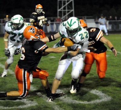
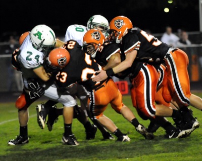
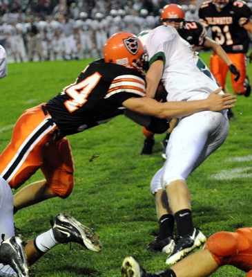
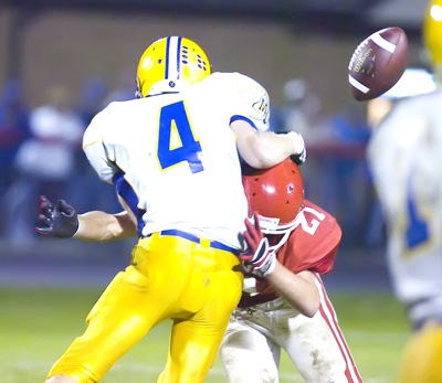
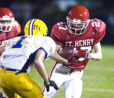
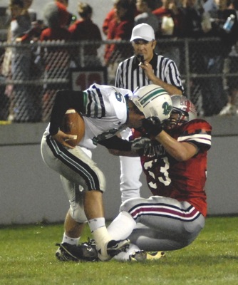
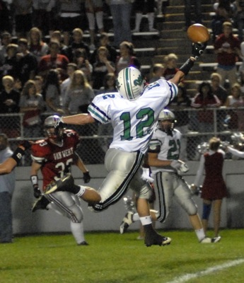
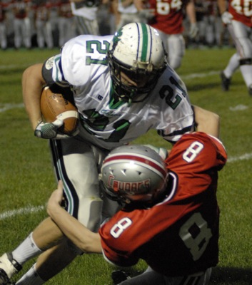
St. Henry's Brad Stahl, 11, is tackled by Marion Local's Brandon Arling, left, during their Midwest Athletic Conference contest on Friday night at the Wally Post Athletic Complex. The Redskins slipped past the Flyers, 10-7.

Related online story:
ST. HENRY - The St. Henry Redskins made a pair of crucial defensive stops at the end of both halves to hang on to a hard-won 10-7 Midwest Athletic Conference victory over the Marion Local Flyers. [More]
Additional pictures on this date