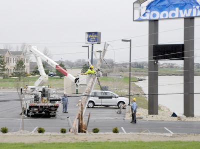
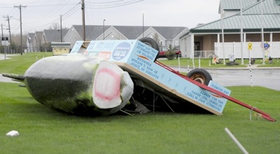
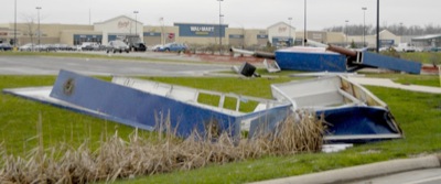
Special Weather Statement issued July 27 at 12:36PM EDT by NWS Wilmington OH (details ...)
At 1236 PM EDT, a strong thunderstorm was located near St. Marys, moving southeast at 25 mph.
HAZARD...Wind gusts up to 50 mph.
SOURCE...Radar indicated.
IMPACT...Gusty winds could knock down tree limbs and blow around unsecured objects.
Locations impacted include... St. Marys, New Bremen, Minster, Newport, Anna, Fort Loramie, Botkins, New Knoxville, Moulton, Chickasaw, Kettlersville, Montezuma, Egypt, Lake Loramie State Park, Maria Stein, Carthagena, Bulkhead, Mccartyville, and Houston.
This includes I-75 in Ohio between mile markers 101 and 107.
If outdoors, consider seeking shelter inside a sturdy building.
To report hazardous weather conditions, go to our website at weather.gov/iln and submit your report via social media, when you can do so safely.
Today 86° Today 86° likely 75° 75° chance Tomorrow 89° Tomorrow 89° slight chance 76° 76° slight chance
Wednesday, April 20th, 2011
Photo by Mark Pummell/The Daily Standard

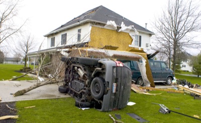
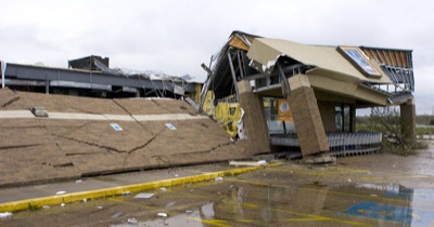
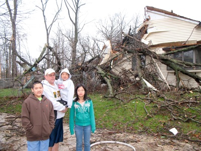
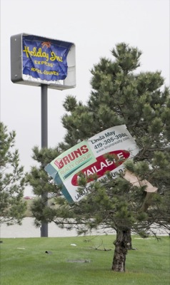
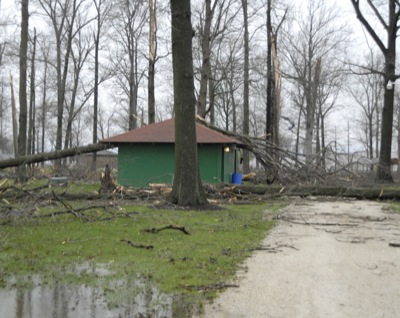
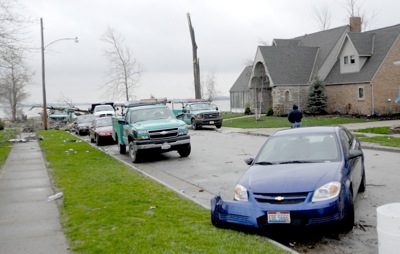
An overturned Explorer rests outside the storm-damaged home of Ron and Carol Kohn, 7400 Staeger Road, Celina. The storm also destroyed the couple's 40-by-50-foot shop building.

Related online story:
CELINA - Celina resident Tom Rable surveyed the storm damage to his home this morning and said, "Thank God, we're all safe and sound."
A heavy tree [More]
Additional pictures on this date