Special Weather Statement issued July 27 at 12:36PM EDT by NWS Wilmington OH (details ...)
At 1236 PM EDT, a strong thunderstorm was located near St. Marys, moving southeast at 25 mph.
HAZARD...Wind gusts up to 50 mph.
SOURCE...Radar indicated.
IMPACT...Gusty winds could knock down tree limbs and blow around unsecured objects.
Locations impacted include... St. Marys, New Bremen, Minster, Newport, Anna, Fort Loramie, Botkins, New Knoxville, Moulton, Chickasaw, Kettlersville, Montezuma, Egypt, Lake Loramie State Park, Maria Stein, Carthagena, Bulkhead, Mccartyville, and Houston.
This includes I-75 in Ohio between mile markers 101 and 107.
If outdoors, consider seeking shelter inside a sturdy building.
To report hazardous weather conditions, go to our website at weather.gov/iln and submit your report via social media, when you can do so safely.
Today 86° Today 86° likely 75° 75° chance Tomorrow 89° Tomorrow 89° slight chance 76° 76° slight chance
Wednesday, April 20th, 2011
Photo by Jason Snyder/The Daily Standard

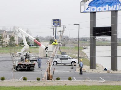
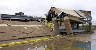
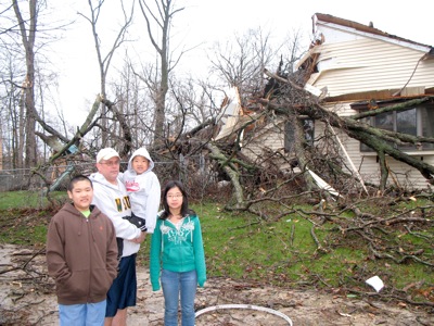
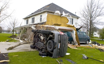
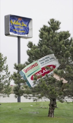
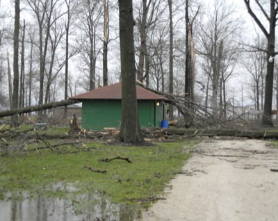
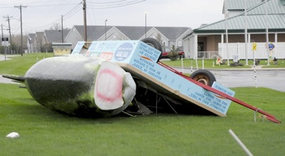
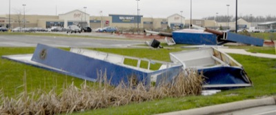
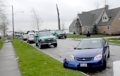
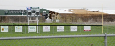
Several businesses on Havemann Road were closed this morning as electricity is out. People are advised to stay away from the area as city crews attempt to restore power. No injuries were reported after the Tuesday night storm, but homes, barns and businesses in the Celina area and just across the Auglaize County border were damaged

Related online story:
CELINA - One local business was destroyed, a barn was flattened, roofs were ripped off homes and trees were snapped during an apparent tornado Tuesday night. No injuries were reported. [More]
Additional pictures on this date