Severe Thunderstorm Watch issued March 31 at 6:02PM EDT until April 1 at 12:00AM EDT by NWS Wilmington OH (details ...)
THE NATIONAL WEATHER SERVICE HAS ISSUED SEVERE THUNDERSTORM WATCH 82 IN EFFECT UNTIL MIDNIGHT EDT TONIGHT FOR THE FOLLOWING AREAS
IN OHIO THIS WATCH INCLUDES 3 COUNTIES
IN WEST CENTRAL OHIO
AUGLAIZE HARDIN MERCER
THIS INCLUDES THE CITIES OF ADA, CELINA, COLDWATER, KENTON, MINSTER, NEW BREMEN, ST. MARYS, AND WAPAKONETA.
Today 78° Today 78° chance 52° 52° chance Tomorrow 60° Tomorrow 60° 47° 47° likely
Monday, February 9th, 2015
Sneak peek
Photo by Shelley Grieshop/The Daily Standard

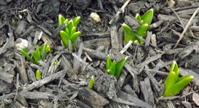
Daffodils peek above the ground in Coldwater where temperatures rose to near 50 degrees on Sunday. Unfortunately, colder weather is returning. Highs this week won't climb above the mid-30s and will drop to 20 and below by the weekend, according to local weather forecaster Dennis Howick.

Additional pictures on this date