MONTEZUMA - Vandals broke into the Montezuma Church of Christ in March, causing enough damage to render the building unusable, but members of the small congregation have not lost faith that they will repair and recover their church.
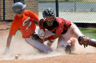
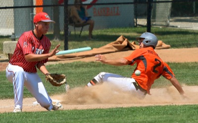
Coldwater, St. Henry to play for District 4 championship tonight
COLDWATER - Mercer County will be assured of having a team play in this weekend's State ACME Baseball Tournament after Coldwater and St. Henry clinched spots in tonight's District 4 championship game at Veterans Field in Coldwater.
ROSSBURG - A year ago, Donny Schatz became the first driver to ever win the Kings Royal at Eldora Speedway in back-to-back years. Saturday night, the [More]