The Daily Standard
Pictures Archive

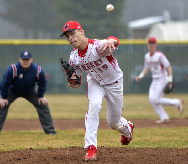
St. Henry's Sam Lefeld (19) delivers a pitch during Friday's game in Fort Recovery. Lefeld allowed three hits, struck out 11 and walked none over six innings in a 7-1 victory.