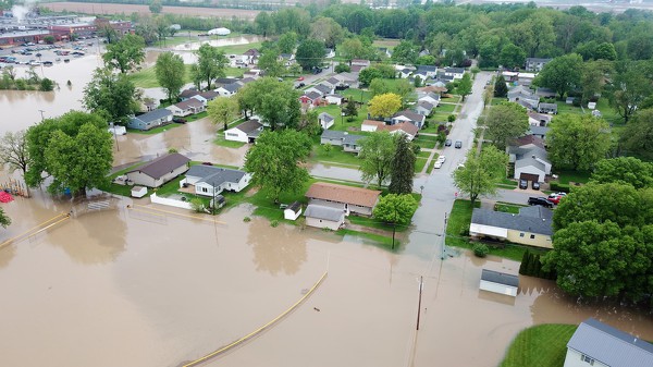
Flood Watch issued August 15 at 10:25PM EDT until August 16 at 8:00AM EDT by NWS Wilmington OH (details ...)
* WHAT...Flash flooding caused by excessive rainfall continues to be possible.
* WHERE...Portions of Indiana, including the following counties, Fayette, Franklin, Union and Wayne and Ohio, including the following counties, Adams, Auglaize, Butler, Champaign, Clark, Clinton, Darke, Delaware, Fairfield, Fayette, Franklin, Greene, Hardin, Highland, Hocking, Licking, Logan, Madison, Mercer, Miami, Montgomery, Pickaway, Pike, Preble, Ross, Scioto, Shelby, Union and Warren.
* WHEN...Until 8 AM EDT Sunday.
* IMPACTS...Excessive runoff may result in flooding of rivers, creeks, streams, and other low-lying and flood-prone locations.
* ADDITIONAL DETAILS... - Additional rounds of showers and thunderstorms are possible tonight. Locally heavy rainfall may result in flash flooding.