The Daily Standard
Pictures Archive

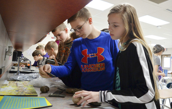
Luke Lochtefeld and Jenna Homan look at a few of the artifacts on display Thursday afternoon after archaeologist Christine Thompson's presentation at Fort Recovery Middle School. Thompson talked about archaelogy and Native American history.