Special Weather Statement issued May 18 at 4:44PM EDT by NWS Wilmington OH (details ...)
At 444 PM EDT, strong thunderstorms were located along a line extending from near Spencerville In Allen County to near Union City, moving east at 30 mph. HAZARD...Wind gusts up to 50 mph, pea size hail, frequent cloud-to-ground lightning, and very heavy rain. SOURCE...Radar indicated. IMPACT...Gusty winds could knock down tree limbs and blow around unsecured objects. Hail may cause minor damage to vegetation. Lightning can cause serious injury or death. Visibility will be poor and hydroplaning is possible. Locations impacted include... Greenville, Celina, Wapakoneta, St. Marys, Coldwater, Fort Shawnee, New Bremen, St. Henry, Cridersville, Union City, Ansonia, New Knoxville, Moulton, Wayne Lakes, Mendon, Chickasaw, Burkettsville, North Star, Buckland, and Rossburg. This includes I-75 in Ohio between mile markers 114 and 118. If outdoors, consider seeking shelter inside a sturdy building. Motorists should slow down and use extra caution. When thunder roars, go indoors! Do not stay in the open or seek shelter under trees when lightning threatens. A Severe Thunderstorm Watch remains in effect until 600 PM EDT for west central Ohio. To report hazardous weather conditions, go to our website at weather.gov/iln and submit your report via social media, when you can do so safely.
Special Weather Statement issued May 18 at 4:38PM EDT by NWS Wilmington OH (details ...)
At 438 PM EDT, strong thunderstorms were located along a line extending from 7 miles west of Fort Loramie to near Greenville, moving northeast at 40 mph. HAZARD...Wind gusts up to 40 mph and pea size hail. SOURCE...Radar indicated. IMPACT...Gusty winds could knock down tree limbs and blow around unsecured objects. Hail may cause minor damage to vegetation. Locations impacted include... Greenville, Wapakoneta, New Bremen, Minster, Versailles, Newport, Bradford, Fort Loramie, New Knoxville, Webster, Wayne Lakes, Russia, Gettysburg, Osgood, North Star, Kettlersville, Yorkshire, Egypt, Darke County Airport, and State Route 47 at US Route 127. If outdoors, consider seeking shelter inside a sturdy building. A Severe Thunderstorm Watch remains in effect until 600 PM EDT for west central Ohio. To report hazardous weather conditions, go to our website at weather.gov/iln and submit your report via social media, when you can do so safely.
Severe Thunderstorm Watch issued May 18 at 11:11AM EDT until May 18 at 6:00PM EDT by NWS Wilmington OH (details ...)
THE NATIONAL WEATHER SERVICE HAS ISSUED SEVERE THUNDERSTORM WATCH 220 IN EFFECT UNTIL 6 PM EDT THIS EVENING FOR THE FOLLOWING AREAS IN OHIO THIS WATCH INCLUDES 2 COUNTIES IN WEST CENTRAL OHIO AUGLAIZE MERCER THIS INCLUDES THE CITIES OF CELINA, COLDWATER, MINSTER, NEW BREMEN, ST. MARYS, AND WAPAKONETA.
Mercer and Auglaize counties were under a flash flood warning late Monday night and early Tuesday morning when a quick torrent reportedly drenched some areas with up to 8 inches of rain.
The National Weather Service office in Wilmington sent out an alert at about 10:45 p.m. Monday issuing a flash flood warning for the area until 2:15 a.m. Residents were advised against travel unless they were fleeing a flood-prone area or under an evacuation order. [More]
FORT RECOVERY - Fort Recovery volleyball coach Travis Guggenbiller said his team still needed to work on some things after Tuesday's game with Celina.
Those things didn't seem to hamper the Indians as they improved to 4-0 with a 25-12, 25-18, 25-12 win over the Bulldogs at Fort Site Fieldhouse. The loss dropped Celina to 4-2 and snapped a three-match winning streak. [More]
MERCER - The Motor Inn restaurant's building may be brand new, but longtime customers and new ones alike can enjoy the same menu the establishment has been offering for nearly 90 years.
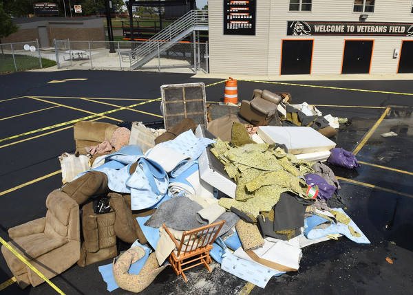
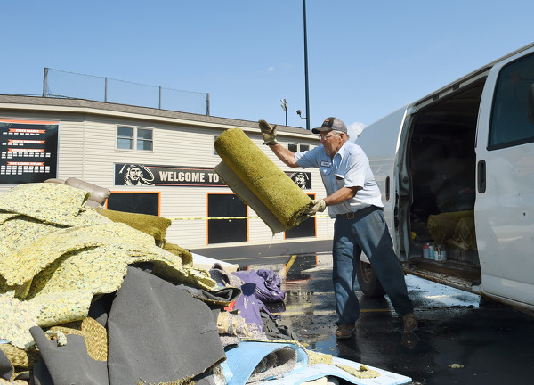
COLDWATER - School administrators said the year has gotten off to a good start under the circumstances, though they'd experienced a bit of a bump in the road due to the heavy rains late Monday and early Tuesday.
MERCER COUNTY - Roadside herbicide application will be performed by licensed personnel along all county roads in Mercer County and on township roads in Center and Jefferson townships.