The Daily Standard
Pictures Archive
Menu
▼
Home
Subscribe
E-Edition
Archives
▼
Archives
Obituary Archives
Photo Albums
Podcasts
▼
Podcasts
Video
Classifieds
▼
Classifieds
Public Notices
Weather
Sports
More
▼
Contacts
Advertising
Subscription Payment
Community Pictures
Historical Maps
Forms
Locations
Elections
56°
56°
Wed
79°
Wed
79°
66°
66°
Thu
83°
Thu
83°
Monday, October 5th, 2020
Photo by Dan Melograna/The Daily Standard
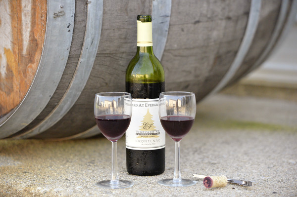
Frontenac is the first estate wine offered at the Vineyard at Evergreen Farm in Coldwater.
Related online story:
Grape day in the morning
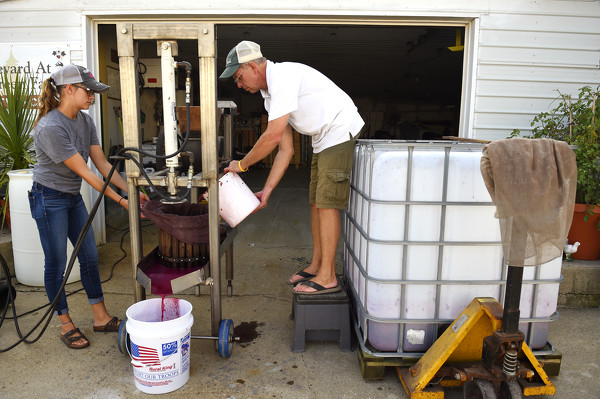
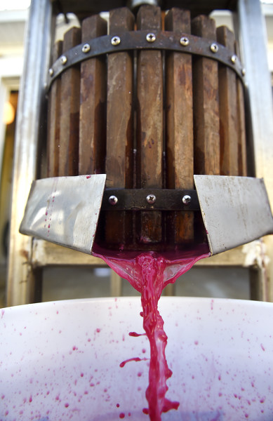
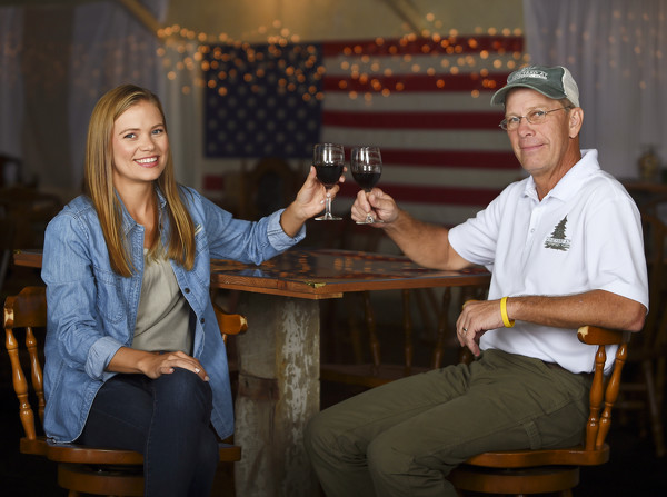
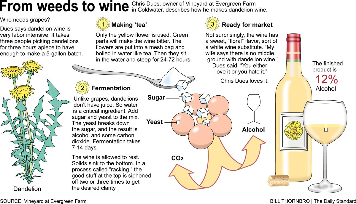
COLDWATER - You don't have to go to Napa Valley or Paris to find a well-crafted bottle of wine.
Chris Dues, 59, has been making wine since he was a [
More
]
Purchase a print of this photo.
Archive of October 5th, 2020
Buy this E-Edition
Additional pictures on this date
<!--Unsupported browser-->
Copyright © 2026 Standard Printing Co. All Rights Reserved