Special Weather Statement issued May 1 at 8:06PM EDT by NWS Wilmington OH (details ...)
At 806 PM EDT, a strong thunderstorm was located over Monroe, moving northeast at 35 mph.
HAZARD...Wind gusts up to 45 mph and pea size hail.
SOURCE...Radar indicated.
IMPACT...Gusty winds could knock down tree limbs and blow around unsecured objects. Hail may cause minor damage to vegetation.
This storm will remain over mainly rural areas of northwestern Mercer County.
If outdoors, consider seeking shelter inside a sturdy building.
To report hazardous weather conditions, go to our website at weather.gov/iln and submit your report via social media, when you can do so safely.
57° 57° likely slight chance Fri 72° Fri 72° chance 53° 53° likely Sat 59° Sat 59° likely
Friday, February 3rd, 2023
Photo by Paige Sutter/The Daily Standard

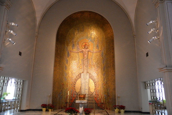
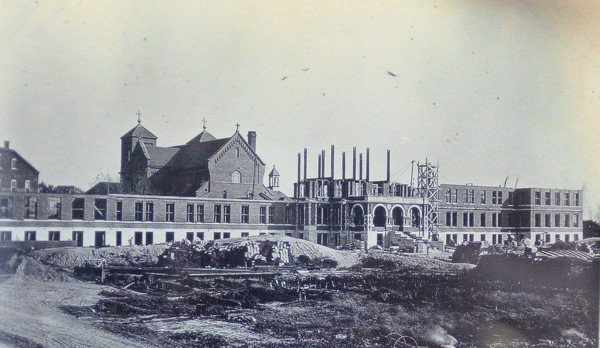
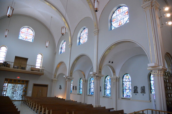
A large Jesus Christ mosaic situated behind the altar dazzles viewers as they walk into the St. Charles' chapel.

Additional pictures on this date