Heat Advisory issued June 22 at 10:18AM EDT until June 25 at 8:00PM EDT by NWS Wilmington OH (details ...)
* WHAT...Heat index values up to 103 expected. * WHERE...Portions of east central and southeast Indiana, northeast and northern Kentucky, and central, south central, southwest, and west central Ohio. * WHEN...Until 8 PM EDT Wednesday. * IMPACTS...Hot temperatures and high humidity may cause heat illnesses.
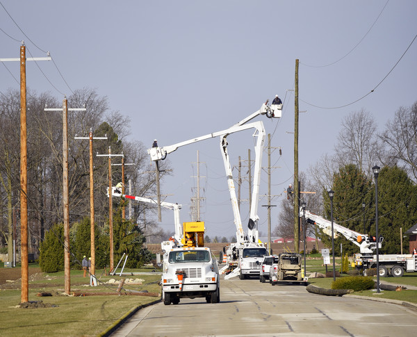
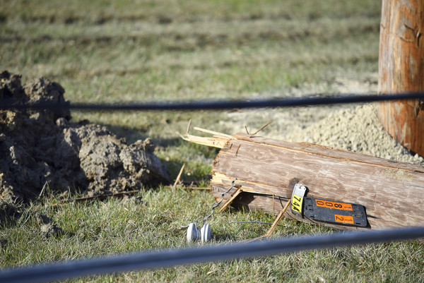
MINSTER - A tornado that ripped through the area early Saturday morning caused heavy damage to Four Seasons Park and left some village residents without power for about 14 hours. [More]
ROCKFORD - Village council members on Tuesday night after executive session passed a motion to create a contract designating police chief Paul May as a long-term school resource officer at Parkway Local Schools.