Severe Thunderstorm Warning issued August 11 at 8:23AM EDT until August 11 at 9:00AM EDT by NWS Wilmington OH (details ...)
At 823 AM EDT, a severe thunderstorm was located near St. Henry, moving southeast at 40 mph. HAZARD...60 mph wind gusts. SOURCE...Radar indicated. IMPACT...Expect damage to trees and power lines. Locations impacted include... Coldwater, Versailles, St. Henry, Bradford, Webster, Gettysburg, Osgood, Chickasaw, Burkettsville, North Star, Montezuma, New Weston, Yorkshire, Darke County Airport, Maria Stein, Brock, State Route 47 at US Route 127, Eldora Speedway, Carthagena, and Willowdell.
Severe Thunderstorm Warning issued August 11 at 8:18AM EDT until August 11 at 9:00AM EDT by NWS Wilmington OH (details ...)
At 817 AM EDT, severe thunderstorms were located along a line extending from near Union City to 7 miles southeast of Muncie, moving southeast at 40 mph. HAZARD...60 mph wind gusts. SOURCE...Radar indicated. IMPACT...Expect damage to trees and power lines. Locations impacted include... Richmond, Greenville, Centerville, Arcanum, Hagerstown, Union City, Fort Recovery, Ansonia, New Madison, Fountain City, Dublin, Franklin, Wayne Lakes, Gettysburg, Greens Fork, Pitsburg, Bethel, Hollansburg, Rossburg, and Palestine. This includes I-70 in Indiana between mile markers 134 and 148.
Flood Watch issued August 11 at 4:12AM EDT until August 12 at 8:00AM EDT by NWS Wilmington OH (details ...)
* WHAT...Flash flooding caused by excessive rainfall continues to be possible. * WHERE...Portions of Indiana, including the following counties, Dearborn, Fayette, Franklin, Union and Wayne, Kentucky, including the following counties, Boone, Bracken, Campbell, Kenton, Lewis, Mason, Pendleton and Robertson, and Ohio, including the following counties, Adams, Auglaize, Brown, Butler, Champaign, Clark, Clermont, Clinton, Darke, Delaware, Fairfield, Fayette, Franklin, Greene, Hamilton, Hardin, Highland, Hocking, Licking, Logan, Madison, Mercer, Miami, Montgomery, Pickaway, Pike, Preble, Ross, Scioto, Shelby, Union and Warren. * WHEN...Through Wednesday morning. * IMPACTS...Excessive runoff may result in flooding of rivers, creeks, streams, and other low-lying and flood-prone locations. * ADDITIONAL DETAILS... - Several rounds of thunderstorms are expected into Wednesday morning. Locally heavy rainfall can be expected with the potential for storms to repeatedly track over the same locations. This will result in the potential for flash flooding.
Severe Thunderstorm Warning issued August 11 at 8:34AM EDT until August 11 at 9:15AM EDT by NWS Wilmington OH (details ...)
At 834 AM EDT, a severe thunderstorm was located over Fort Loramie, moving east at 45 mph. HAZARD...60 mph wind gusts. SOURCE...Radar indicated. IMPACT...Expect damage to trees and power lines. Locations impacted include... Troy, Sidney, Piqua, New Bremen, Minster, Covington, Newport, Bradford, Anna, Fort Loramie, Jackson Center, Pleasant Hill, Botkins, New Knoxville, Hardin, Russia, Laura, Fletcher, Port Jefferson, and Casstown. This includes I-75 in Ohio between mile markers 71 and 106.
Special Weather Statement issued August 11 at 8:34AM EDT by NWS Wilmington OH (details ...)
At 834 AM EDT, a rapidly developing thunderstorm was located near Chippewa Park, moving east at 45 mph. HAZARD...Wind gusts up to 50 mph and half inch hail. SOURCE...Radar indicated. IMPACT...Gusty winds could knock down tree limbs and blow around unsecured objects. Hail may cause minor damage to vegetation. Locations impacted include... Bellefontaine, Kenton, Richwood, Russells Point, Lakeview, Alger, Belle Center, West Mansfield, Chippewa Park, Northwood, Blanchard, Roundhead, Mount Victory, Rushsylvania, Mcguffey, Huntsville, Ridgeway, Zanesfield, Raymond, and New Jerusalem. If outdoors, consider seeking shelter inside a sturdy building. To report hazardous weather conditions, go to our website at weather.gov/iln and submit your report via social media, when you can do so safely.
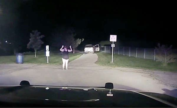
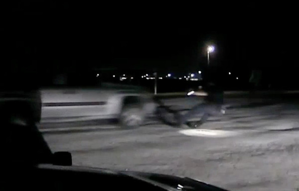
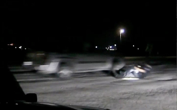
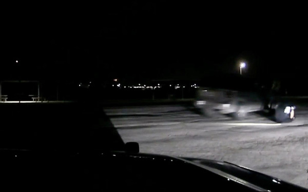
Bodycam shows driver speeding away, police firing at vehicle
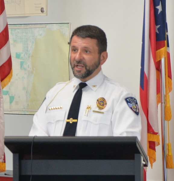
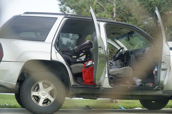
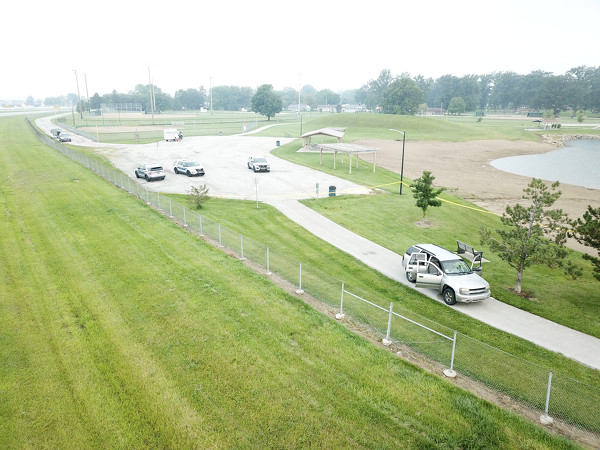
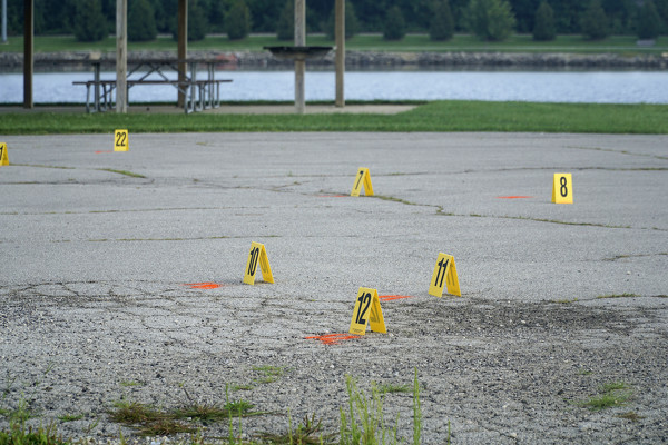
CELINA - A 24-year-old St. Marys man was fatally shot by Celina police in the early morning hours of Aug. 25 near the Eastview Park pond after he drove a 2005 Chevrolet Trailblazer directly at a police officer, missing him by only inches, according to Celina Police Chief Tom Wale. [More]
CELINA - The two Celina police officers who opened fire on a 2005 Chevrolet Trailblazer, resulting in the death of Corey Andrew, are on administrative leave.
Parkway scores twice in fourth to rally past Redskins
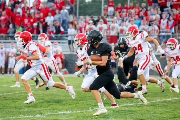
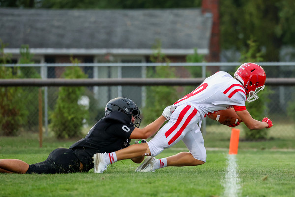
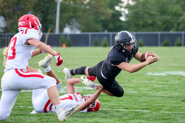
ROCKFORD - Parkway scored two touchdowns in the final six minutes, capping an improbable second-half comeback to post a 35-23 victory over visiting St. Henry Friday night. [More]
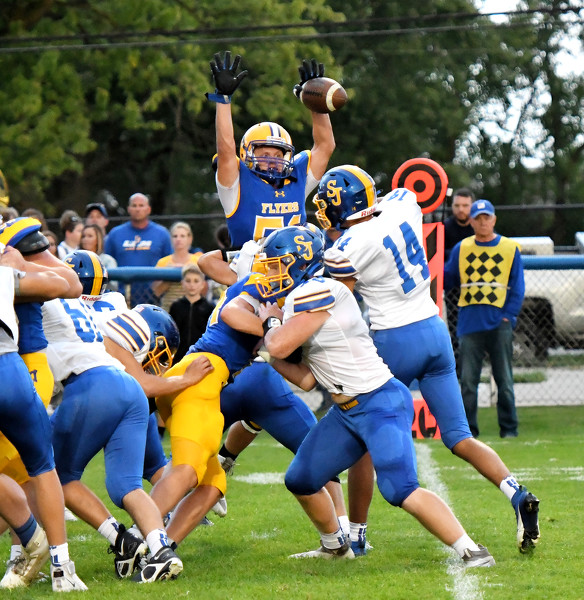
Braylon Gabes ran for two touchdowns and caught two passes that went for scores as Celina retained its share of the Western Buckeye League football lead with a 31-8 victory over Shawnee on Friday night at Shawnee Field in Allen County.
ROSSBURG - Brian Shirley picked up his first career win at Eldora in thrilling fashion and fellow Illinois driver Bobby Pierce won for the second consecutive night as preliminary features for the 53rd World 100 concluded at Eldora Speedway on Friday night.