The Daily Standard
Pictures Archive
Menu
▼
Home
Subscribe
E-Edition
Archives
▼
Archives
Obituary Archives
Photo Albums
Podcasts
▼
Podcasts
Video
Classifieds
▼
Classifieds
Public Notices
Weather
Sports
More
▼
Contacts
Advertising
Subscription Payment
Community Pictures
Historical Maps
Forms
Locations
Elections
32°
32°
Mon
47°
Mon
47°
29°
29°
Tue
53°
Tue
53°
Monday, September 25th, 2023
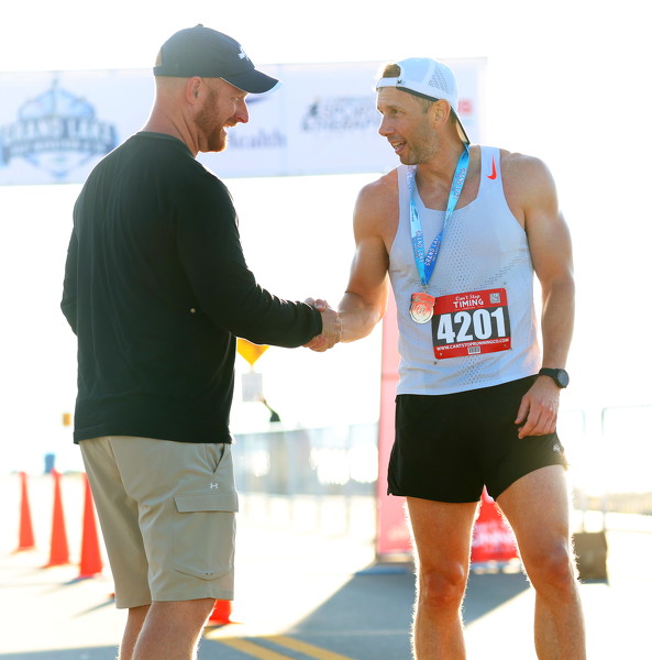
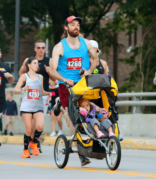
Photo by Paige Sutter/The Daily Standard
Ryan Steinbrunner, 32, Celina, grabs his daughter just before crossing the finish line.
Related online story:
Grand Lake Half-M 'beautiful'
CELINA - James Mount won the 2023 Grand Lake half-marathon Saturday, crossing the line in 1:17.35.
Mount, 41, from Blue Ash near Cincinnati, had [
More
]
Purchase a print of this photo.
Archive of September 25th, 2023
Buy this E-Edition
Additional pictures on this date
<!--Unsupported browser-->
Copyright © 2026 Standard Printing Co. All Rights Reserved