Special Weather Statement issued August 9 at 8:12PM EDT by NWS Wilmington OH (details ...)
At 811 PM EDT, strong thunderstorms were located along a line extending from near Elida to near Celina to near Hartford City, moving southeast at 25 mph. HAZARD...Wind gusts up to 50 mph. SOURCE...Radar indicated. IMPACT...Gusty winds could knock down tree limbs and blow around unsecured objects. Locations impacted include... Celina, Wapakoneta, St. Marys, Ada, Coldwater, New Bremen, Minster, St. Henry, Cridersville, Union City, Anna, Fort Loramie, Jackson Center, Fort Recovery, Botkins, Lakeview, New Knoxville, Dunkirk, Alger, and Waynesfield. This includes I-75 in Ohio between mile markers 100 and 117. If outdoors, consider seeking shelter inside a sturdy building. A Severe Thunderstorm Watch remains in effect until midnight EDT for west central Ohio. To report hazardous weather conditions, go to our website at weather.gov/iln and submit your report via social media, when you can do so safely.
Severe Thunderstorm Watch issued August 9 at 7:22PM EDT until August 10 at 12:00AM EDT by NWS Wilmington OH (details ...)
THE NATIONAL WEATHER SERVICE HAS ISSUED SEVERE THUNDERSTORM WATCH 548 IN EFFECT UNTIL MIDNIGHT EDT TONIGHT FOR THE FOLLOWING AREAS IN OHIO THIS WATCH INCLUDES 8 COUNTIES IN CENTRAL OHIO DELAWARE LICKING UNION IN WEST CENTRAL OHIO AUGLAIZE HARDIN LOGAN MERCER SHELBY THIS INCLUDES THE CITIES OF ADA, BELLEFONTAINE, CELINA, COLDWATER, DELAWARE, KENTON, MARYSVILLE, MINSTER, NEW BREMEN, NEWARK, SIDNEY, ST. MARYS, AND WAPAKONETA.
Special Weather Statement issued August 9 at 8:37PM EDT by NWS Wilmington OH (details ...)
At 837 PM EDT, strong thunderstorms were located along a line extending from near Arlington to near Lakeview to near Fort Loramie, moving southeast at 55 mph. HAZARD...Wind gusts up to 40 mph. SOURCE...Radar indicated. IMPACT...Gusty winds could knock down tree limbs and blow around unsecured objects. Locations impacted include... Marysville, Sidney, Bellefontaine, Kenton, Richwood, Newport, West Liberty, Anna, North Lewisburg, Fort Loramie, Jackson Center, Forest, Russells Point, De Graff, Lakeview, Dunkirk, Belle Center, West Mansfield, Chippewa Park, and Hardin. This includes I-75 in Ohio between mile markers 89 and 101. If outdoors, consider seeking shelter inside a sturdy building. A Severe Thunderstorm Watch remains in effect until midnight EDT for central and west central Ohio. To report hazardous weather conditions, go to our website at weather.gov/iln and submit your report via social media, when you can do so safely.
CELINA - Visiting Judge Stephen A. Wolaver on Thursday heard testimony during an evidentiary hearing to determine if adults can testify on behalf of a child victim in a pending rape case.
DUBLIN TOWNSHIP - Incumbent township trustee Dane Roebuck is being challenged by Loren Schindeldecker and Michael Patterson for an open trustee seat in the Nov. 7 general election. Candidates are presented in alphabetical order.
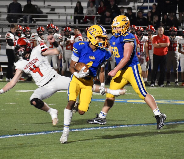
MINSTER - In its first meeting with Bradford since 1990, Minster dominated on both sides of the ball for a 50-8 victory in the Division VII football playoff opener at Memorial Stadium on Friday.
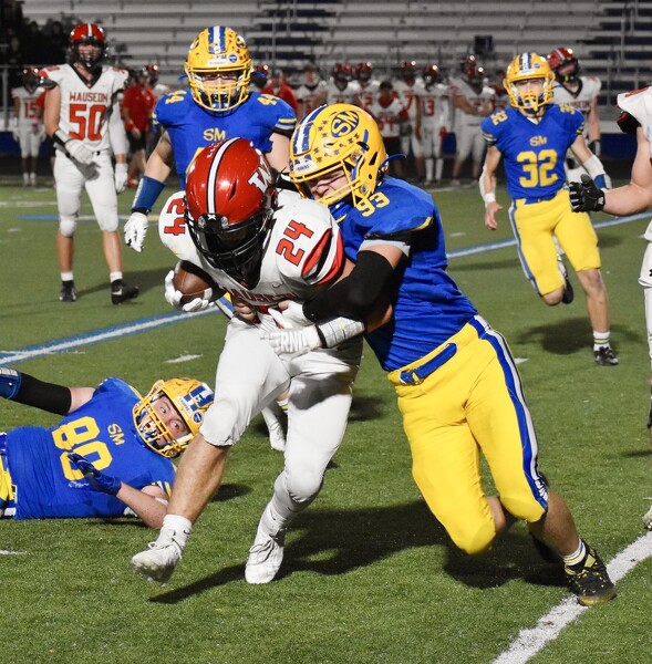
COLDWATER - A week after taking its first loss of the year against Marion Local, Coldwater regrouped impressively in its Division V football playoff opener.
St. Henry had four different players score and forced four turnovers in winning its Division VII Region 28 opener with a 28-5 victory over Riverside on Friday night at DeGraff's Veterans Memorial Stadium.