Flood Watch issued August 11 at 11:33PM EDT until August 12 at 11:00PM EDT by NWS Wilmington OH (details ...)
* WHAT...Flash flooding caused by excessive rainfall continues to be possible.
* WHERE...Portions of Indiana, including the following counties, Dearborn, Fayette, Franklin, Ohio, Ripley, Switzerland, Union and Wayne, Kentucky, including the following counties, Boone, Bracken, Campbell, Carroll, Gallatin, Grant, Kenton, Lewis, Mason, Owen, Pendleton and Robertson, and Ohio, including the following counties, Adams, Auglaize, Brown, Butler, Champaign, Clark, Clermont, Clinton, Darke, Delaware, Fairfield, Fayette, Franklin, Greene, Hamilton, Hardin, Highland, Hocking, Licking, Logan, Madison, Mercer, Miami, Montgomery, Pickaway, Pike, Preble, Ross, Scioto, Shelby, Union and Warren.
* WHEN...Through Wednesday evening.
* IMPACTS...Excessive runoff may result in flooding of rivers, creeks, streams, and other low-lying and flood-prone locations.
* ADDITIONAL DETAILS... - Additional thunderstorms are expected through Wednesday. Locally heavy rainfall and the potential for storms to repeatedly track over the same areas are possible. This will result in the potential for flash flooding.
66° 66° chance Wed 83° Wed 83° chance 66° 66° chance Thu 82° Thu 82° likely
Friday, March 15th, 2024
Photo by Erin Gardner/The Daily Standard

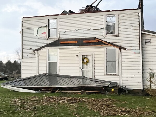
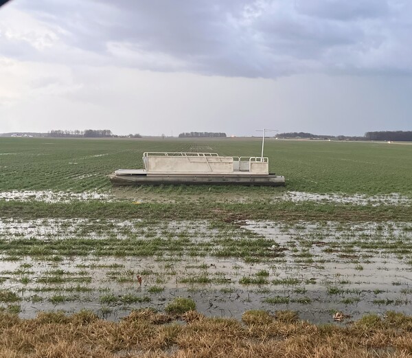
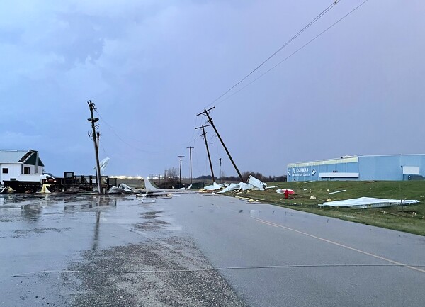
Severe thunderstorms swept through New Knoxville on Thursday night. There was high winds and hail about a quarter of an inch reported by a Marathon gas station attendant who wished to remain anonymous.

Related online story:

Multiple tornadoes are suspected to have touched down in the area, with a report of as many as four in Auglaize County, resulting in at least a handful of injuries, heavy damage to barns, homes and other structures and a citywide power outage in Celina. [More]
Additional pictures on this date