Flood Advisory issued May 19 at 10:11PM EDT until May 20 at 12:00AM EDT by NWS Wilmington OH (details ...)
* WHAT...Flooding caused by excessive rainfall continues.
* WHERE...The following counties, in west central Ohio, Auglaize, Champaign, Darke, Hardin, Logan, Miami and Shelby.
* WHEN...Until midnight EDT tonight.
* IMPACTS...Minor flooding in low-lying and poor drainage areas.
* ADDITIONAL DETAILS... - At 1011 PM EDT, radar and automated rain gauges indicated heavy rain due to thunderstorms. Minor flooding is ongoing or expected to begin shortly in the advisory area. Between 0.5 and 1 inch of rain has fallen. Additional rainfall amounts up to 0.5 inches are possible. - Some locations that may experience flooding include... Troy, Sidney, Piqua, Bellefontaine, Kenton, Ada, West Milton, Versailles, Covington, Newport, Bradford, Anna, Fort Loramie, Jackson Center, Forest, Russells Point, De Graff, Pleasant Hill, Botkins and Lakeview.
58° 58° Wed 67° Wed 67° chance 46° 46° Thu 67° Thu 67°
Friday, September 26th, 2025
Photo by Ryan Snyder/The Daily Standard

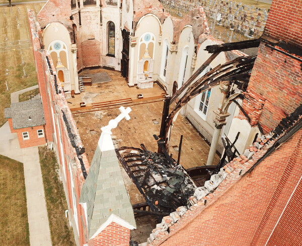
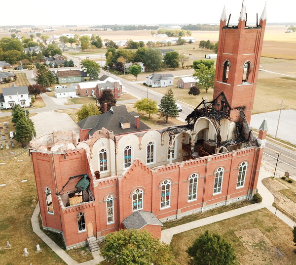
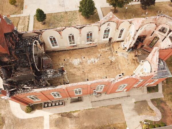
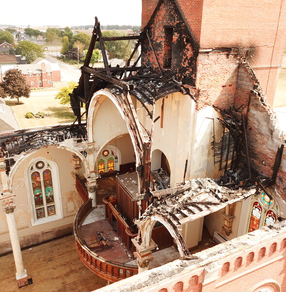
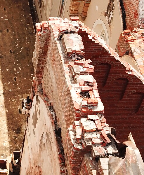
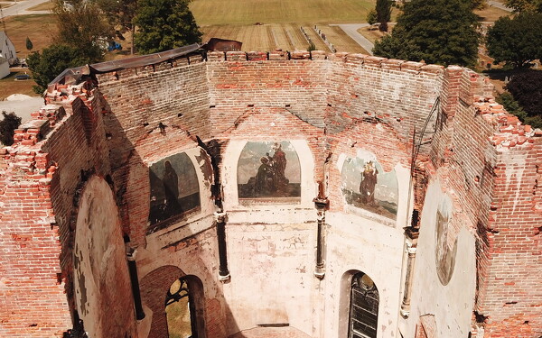
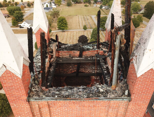
The church would require a new roof structure using updated building codes and structural assessment to determine weight loads on walls and foundations.

Related online story:
MARIA STEIN - A claims administrator is evaluating fire-related losses at St. John the Baptist Church and developing two key estimates, one for r [More]
Additional pictures on this date