Flash Flood Warning issued September 16 at 3:09AM EDT until September 16 at 7:00AM EDT by NWS Wilmington OH (details ...)
FFWILN
The National Weather Service in Wilmington has issued a
* Flash Flood Warning for... Mercer County in west central Ohio...
* Until 700 AM EDT.
* At 309 AM EDT, radar indicated thunderstorms producing heavy rain across the warned area. Between 1.5 and 3 inches of rain have fallen. Additional rainfall amounts of 1 to 1.5 inches are possible in the warned area. Flash flooding is ongoing or expected to begin shortly.
HAZARD...Flash flooding caused by thunderstorms.
SOURCE...Radar indicated.
IMPACT...Flash flooding of small creeks and streams, urban areas, highways, streets and underpasses as well as other poor drainage and low-lying areas.
* Some locations that may experience flash flooding include... Celina, Coldwater, St. Henry, Fort Recovery, Rockford, Wabash, Mendon, Chickasaw, Montezuma, Tama, Carthagena, Neptune, Chattanooga and Maria Stein.
70° 70° slight chance chance Wed 86° Wed 86° chance 69° 69° slight chance chance Thu 84° Thu 84° likely
Saturday, January 26th, 2008
Submitted Photo

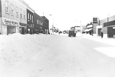
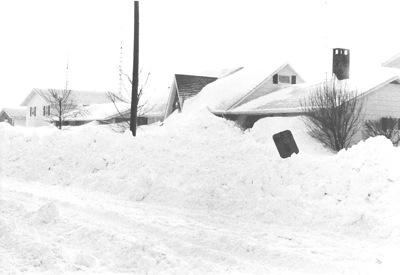
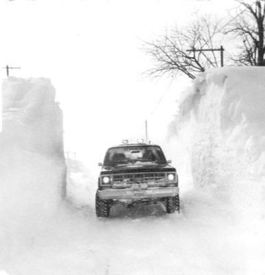
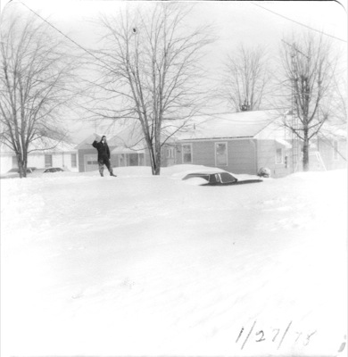
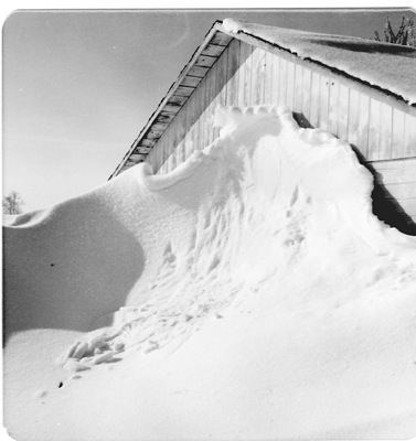
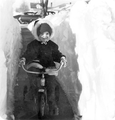
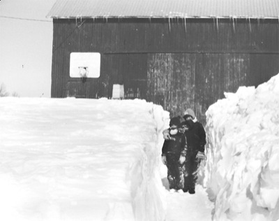
Snow as high as 6 feet blocks the entranceway and sidewalks lining Main Street in Coldwater days following the blizzard. The snow was eventually taken out to the parking lot of the school's football stadium - the same place village crews haul excess snow to yet today.

Related online story:

The Blizzard of 1978 went down in history as the most brutal winter blast Mother Nature ever threw at the Buckeye state.
Even today, the mere menti [More]
Additional pictures on this date