Heat Advisory issued June 21 at 3:50PM EDT until June 24 at 8:00PM EDT by NWS Wilmington OH (details ...)
* WHAT...Heat index values up to 103 expected.
* WHERE...Portions of east central and southeast Indiana, northeast and northern Kentucky, and central, south central, southwest, and west central Ohio.
* WHEN...From noon Sunday to 8 PM EDT Tuesday.
* IMPACTS...Hot temperatures and high humidity may cause heat illnesses.
Today 88° Today 88° 78° 78° Tomorrow 91° Tomorrow 91° 77° 77°
Thursday, February 7th, 2008
Photo by Mark Pummell/The Daily Standard

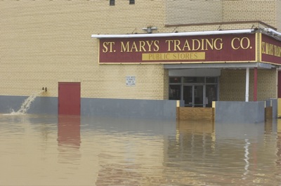
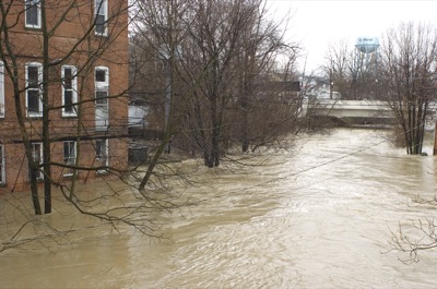
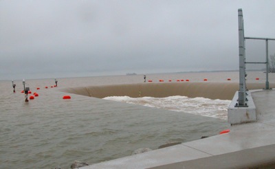
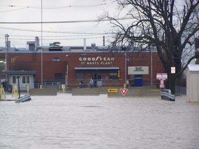
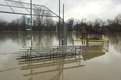
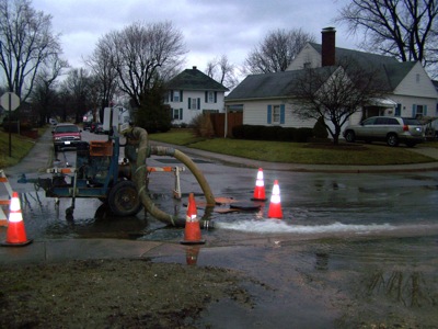
Floodwaters threatened the St. Marys Trading Company, across the street from Memorial High School, on Wednesday afternoon. St. Marys residents who need assistance due to flooding problems can call 419-394-3303, ext. 0.

Related online story:
A state of emergency has been declared for Mercer and Auglaize counties following heavy rains this week that caused extensive flooding.
Officials i [More]
Additional pictures on this date