Special Weather Statement issued June 6 at 9:56AM EDT by NWS Wilmington OH (details ...)
At 955 AM EDT, a strong thunderstorm was located over Fort Recovery, moving east at 60 mph.
HAZARD...Wind gusts up to 45 mph.
SOURCE...Radar indicated.
IMPACT...Gusty winds could knock down tree limbs and blow around unsecured objects.
Locations impacted include... Greenville, Celina, Wapakoneta, St. Marys, Coldwater, New Bremen, Minster, Versailles, Covington, St. Henry, Newport, Bradford, Union City, Fort Loramie, Fort Recovery, Ansonia, Botkins, New Knoxville, Moulton, and Webster.
This includes I-75 in Ohio between mile markers 105 and 110.
If outdoors, consider seeking shelter inside a sturdy building.
To report hazardous weather conditions, go to our website at weather.gov/iln and submit your report via social media, when you can do so safely.
Today 82° Today 82° likely 67° 67° slight chance Tomorrow 81° Tomorrow 81° slight chance 67° 67° slight chance
Friday, September 16th, 2011
Photo by Nick Wenning/The Daily Standard

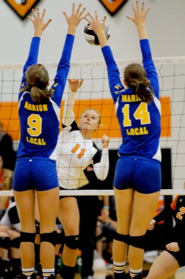
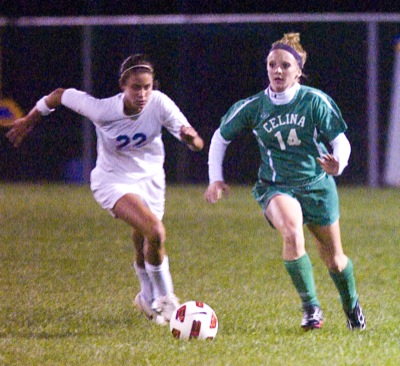
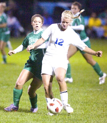
Marion Local's Gina Kramer, 9, and Josie Winner, 14, combine to block Coldwater's Courtney Wellman during their Midwest Athletic Conference match on Thursday.

Related online story:
COLDWATER - Marion Local's volleyball team overcame a loss in the first game to win the next three in a 23-25, 25-20, 25-15 and 25-13 victory over Coldwater in Midwest Athletic Conference action at The Palace on Thursday night. [More]
Additional pictures on this date