Special Weather Statement issued August 10 at 9:36AM EDT by NWS Wilmington OH (details ...)
At 935 AM EDT, a strong thunderstorm was located over Fort Shawnee, moving southeast at 35 mph.
HAZARD...Wind gusts up to 40 mph and pea size hail.
SOURCE...Radar indicated.
IMPACT...Gusty winds could knock down tree limbs and blow around unsecured objects. Hail may cause minor damage to vegetation.
Locations impacted include... Bellefontaine, Wapakoneta, Fort Shawnee, Cridersville, Anna, Jackson Center, Russells Point, Botkins, Lakeview, Waynesfield, Belle Center, Chippewa Park, Northwood, Roundhead, Rushsylvania, Huntsville, Buckland, Uniopolis, Fryburg, and Montra.
This includes I-75 in Ohio between mile markers 99 and 118.
If outdoors, consider seeking shelter inside a sturdy building.
To report hazardous weather conditions, go to our website at weather.gov/iln and submit your report via social media, when you can do so safely.
Today 84° Today 84° chance 68° 68° chance likely Tomorrow 82° Tomorrow 82° likely chance 67° 67° chance
Tuesday, March 27th, 2012
Photo by Mark Pummell/The Daily Standard

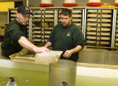
St. Marys State Fish Hatchery employees Jay Williams, left, and Adam Sawmiller transfer yellow perch from heated trays to a larger tank as they separate the fish from their egg ribbon.

Related online story:

ST. MARYS - The hunt for eggs has begun.
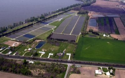
Workers at the St. Marys State Fish Hatchery are collecting and fertilizing fish eggs. Some already have hatched. [More]
Additional pictures on this date