Severe Thunderstorm Watch issued April 14 at 5:16PM EDT until April 14 at 11:00PM EDT by NWS Wilmington OH (details ...)
THE NATIONAL WEATHER SERVICE HAS ISSUED SEVERE THUNDERSTORM WATCH 112 IN EFFECT UNTIL 11 PM EDT THIS EVENING FOR THE FOLLOWING AREAS
IN INDIANA THIS WATCH INCLUDES 4 COUNTIES
IN EAST CENTRAL INDIANA
FAYETTE UNION WAYNE
IN SOUTHEAST INDIANA
FRANKLIN
IN OHIO THIS WATCH INCLUDES 7 COUNTIES
IN WEST CENTRAL OHIO
AUGLAIZE DARKE MERCER MIAMI MONTGOMERY PREBLE SHELBY
THIS INCLUDES THE CITIES OF BROOKVILLE, CAMDEN, CELINA, COLDWATER, CONNERSVILLE, DOWNTOWN DAYTON, EATON, GREENVILLE, KETTERING, LIBERTY, MINSTER, NEW BREMEN, PIQUA, RICHMOND, SIDNEY, ST. MARYS, TIPP CITY, TROY, WAPAKONETA, AND WEST COLLEGE CORNER.
Today 82° Today 82° chance 67° 67° chance Tomorrow 83° Tomorrow 83° likely 66° 66° likely
Friday, June 21st, 2019
Photo by Ryan Snyder/The Daily Standard

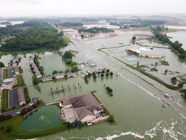
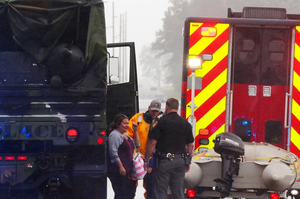
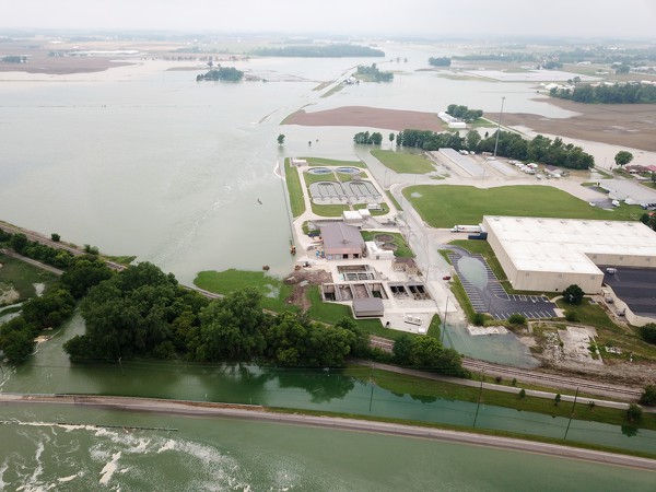
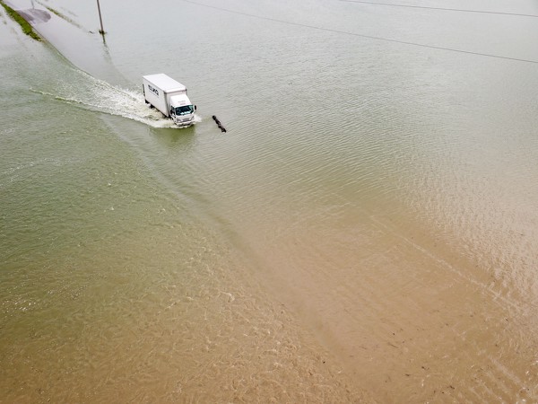
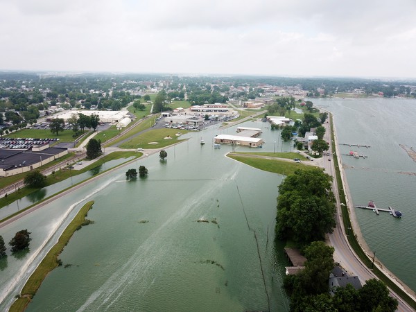
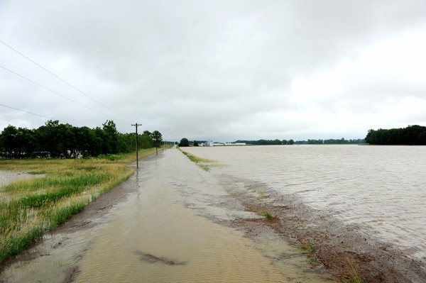
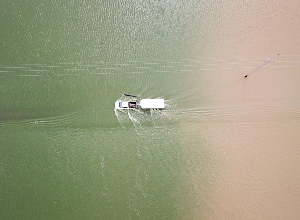
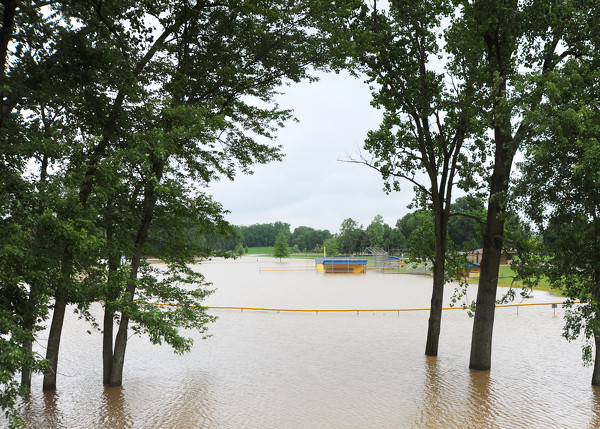
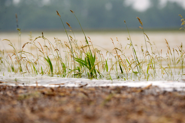
Once again, the area around U.S. 127 and Beaver Creek south of Celina is inundated by floodwaters. Some affected businesses are, clockwise from bottom: Romer's Catering, Westlake Village, The Boathouse at Grand Lake and Grand Lakeside Pub and Catering, which is in the former Breakaway RecPlex facility. The foam at the bottom shows Beaver Creek's usual channel.

Related online story:
Torrential rain poured onto Mercer and Auglaize counties causing widespread flooding Wednesday evening into Thursday.
Many property owners are coping once again with flooded fields, yards and basements not long after heavy rain fell on May 17. [More]
Additional pictures on this date