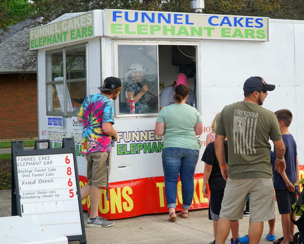
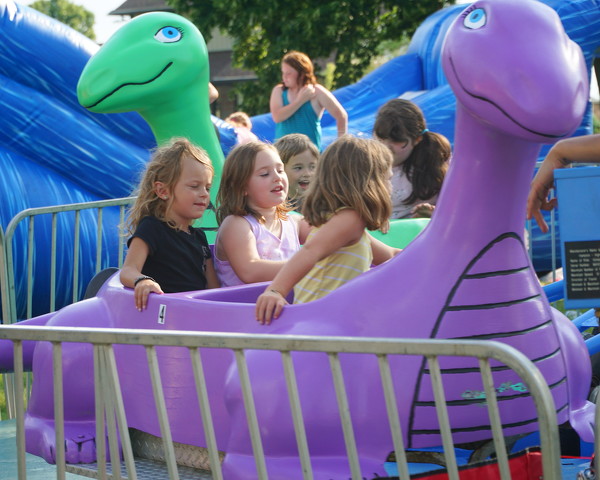
Winter Storm Warning issued January 24 at 1:49PM EST until January 26 at 12:00PM EST by NWS Wilmington OH (details ...)
* WHAT...Heavy snow. Snow accumulations between 9 and 11 inches.
* WHERE...Auglaize, Darke, Hardin, Logan, Mercer, and Shelby Counties.
* WHEN...Until noon EST Monday.
* IMPACTS...Travel could be very difficult. The hazardous conditions could impact the Monday morning commute.
Cold Weather Advisory issued January 24 at 1:32PM EST until January 26 at 6:00PM EST by NWS Wilmington OH (details ...)
* WHAT...For the Cold Weather Advisory, very cold wind chills as low as around 15 below zero expected. For the Extreme Cold Watch, dangerously cold wind chills as low as around 25 below zero possible.
* WHERE...Portions of east central and southeast Indiana, northeast and northern Kentucky, and central, south central, southwest, and west central Ohio.
* WHEN...For the Cold Weather Advisory, from midnight Sunday Night to 6 PM EST Monday. For the Extreme Cold Watch, from Monday evening through Tuesday morning.
* IMPACTS...The dangerously cold wind chills could cause frostbite on exposed skin in as little as 30 minutes.
Extreme Cold Watch issued January 24 at 1:32PM EST until January 27 at 12:00PM EST by NWS Wilmington OH (details ...)
* WHAT...For the Cold Weather Advisory, very cold wind chills as low as around 15 below zero expected. For the Extreme Cold Watch, dangerously cold wind chills as low as around 25 below zero possible.
* WHERE...Portions of east central and southeast Indiana, northeast and northern Kentucky, and central, south central, southwest, and west central Ohio.
* WHEN...For the Cold Weather Advisory, from midnight Sunday Night to 6 PM EST Monday. For the Extreme Cold Watch, from Monday evening through Tuesday morning.
* IMPACTS...The dangerously cold wind chills could cause frostbite on exposed skin in as little as 30 minutes.
Today 11° Today 11° slight chance Tomorrow 15° Tomorrow 15° heavy heavy
Monday, June 21st, 2021
Photo by Dan Melograna/The Daily Standard

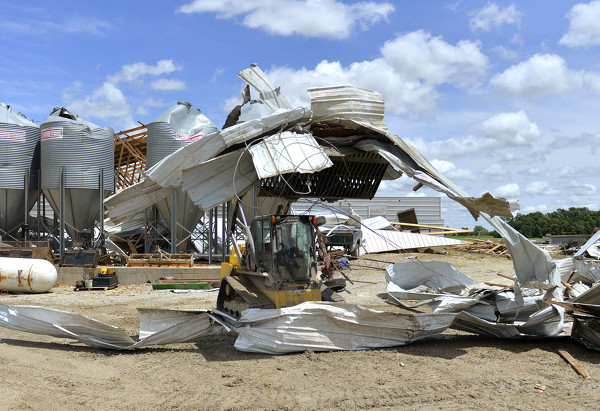
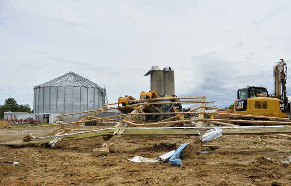
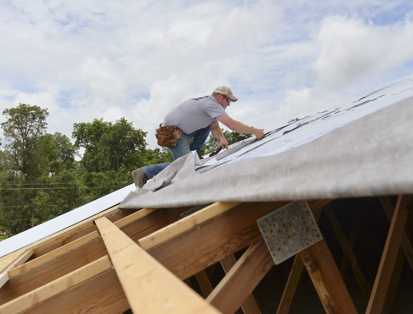
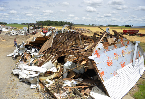
Family and neighbors all pitched in to help clean up the aftermath from the tornado that struck Dave and Marie Link's hog farm near Fort Recovery.

Related online story:
FORT RECOVERY - An EF2 tornado packing wind speeds up to 115 mph was confirmed near Fort Recovery on Friday afternoon, according to the National Weather Service in Wilmington. [More]
Additional pictures on this date