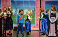
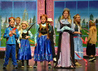
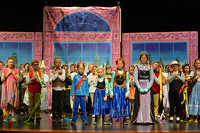
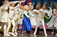
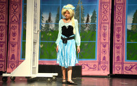
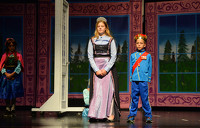
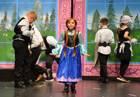
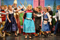
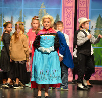
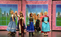
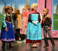
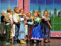
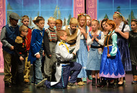
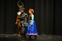
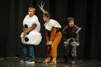
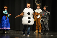
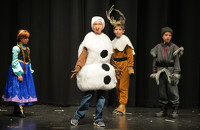
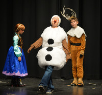
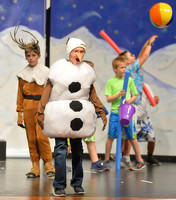
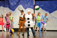
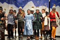
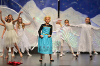
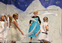
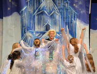
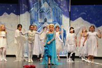
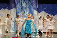
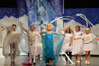
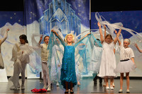
Coldwater Elementary 4th Grade Presents Disney Frozen JR
27 of 39 pictures
Tuesday, November 19th, 2019
Photo by Dan Melograna/The Daily Standard
Special Weather Statement issued July 27 at 12:58PM EDT by NWS Wilmington OH (details ...)
At 1258 PM EDT, a strong thunderstorm was located near Anna, moving southeast at 20 mph.
HAZARD...Wind gusts up to 50 mph and very heavy rain.
SOURCE...Radar indicated.
IMPACT...Gusty winds could knock down tree limbs and blow around unsecured objects. Visibility will be poor and hydroplaning is possible.
Locations impacted include... Sidney, Minster, Anna, Fort Loramie, Jackson Center, Botkins, Hardin, Port Jefferson, Kettlersville, Montra, Newbern, Lake Loramie State Park, Maplewood, Mccartyville, Swanders, and Bloom Center.
This includes I-75 in Ohio between mile markers 87 and 107.
If outdoors, consider seeking shelter inside a sturdy building.
Motorists should slow down and use extra caution.
To report hazardous weather conditions, go to our website at weather.gov/iln and submit your report via social media, when you can do so safely.
Flood Advisory issued July 27 at 12:48PM EDT until July 27 at 4:00PM EDT by NWS Wilmington OH (details ...)
* WHAT...Flooding caused by excessive rainfall is expected.
* WHERE...The following counties, in west central Ohio, Auglaize and Shelby.
* WHEN...Until 400 PM EDT.
* IMPACTS...Minor flooding in low-lying and poor drainage areas.
* ADDITIONAL DETAILS... - At 1248 PM EDT, trained weather spotters reported minor flooding in the advisory area. Between 1.5 and 2.5 inches of rain have fallen. Additional rainfall amounts of 0.5 to 1.5 inches are possible. - Some locations that may experience flooding include... Anna, Jackson Center, Botkins, New Knoxville, Kettlersville, Montra, Mccartyville and Maplewood.
Today 86° Today 86° likely 75° 75° chance Tomorrow 89° Tomorrow 89° slight chance 76° 76° slight chance
thum pict
thum pict
thum pict
thum pict
thum pict
thum pict
thum pict
thum pict
thum pict
thum pict
thum pict
thum pict
thum pict
thum pict
thum pict
thum pict
thum pict
thum pict
thum pict
thum pict
thum pict
thum pict
thum pict
thum pict
thum pict
thum pict
thum pict
thum pict
thum pict
thum pict
thum pict
thum pict
thum pict
thum pict
thum pict
thum pict
thum pict
thum pict
thum pict