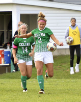
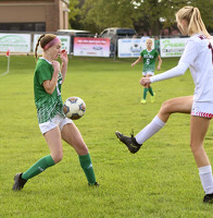
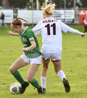
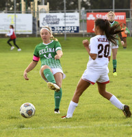
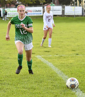
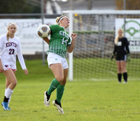
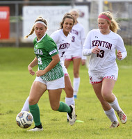
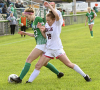
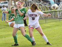
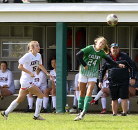
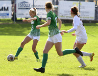
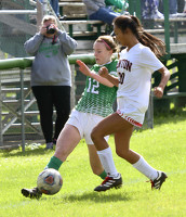
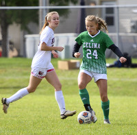
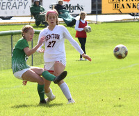
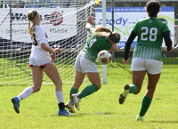
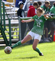
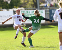
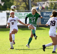
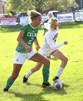
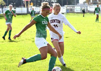
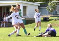
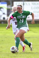
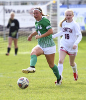
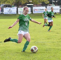
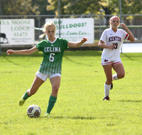
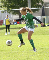
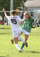
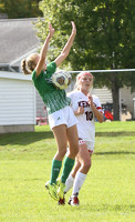
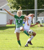
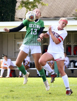
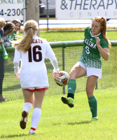
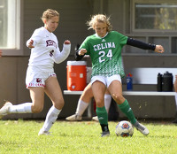
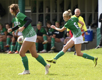
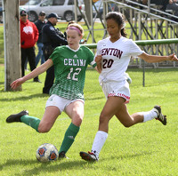
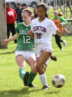
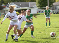
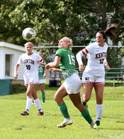
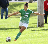
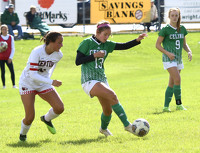
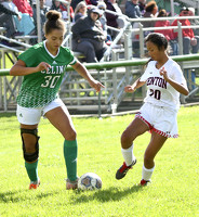
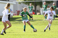
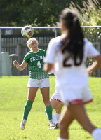
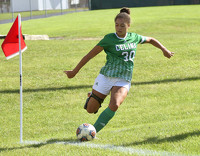
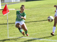
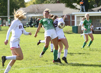
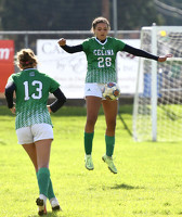
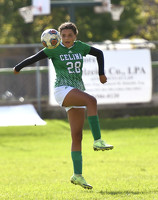
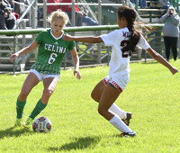
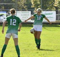
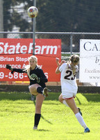
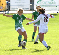
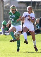
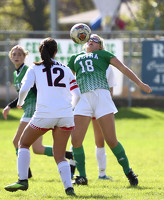
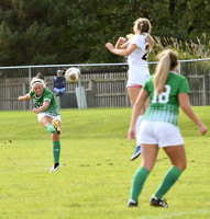
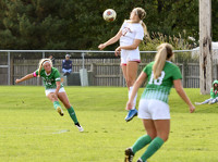
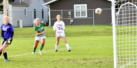
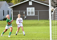
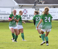
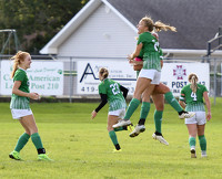
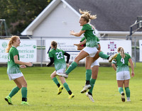
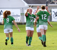
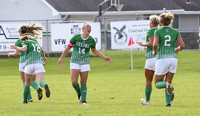
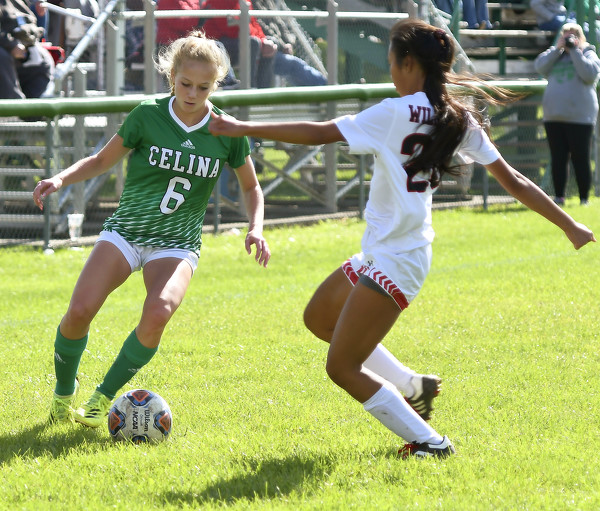
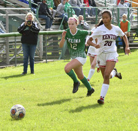
Celina vs Kenton girls soccer
52 of 70 pictures
Saturday, October 23rd, 2021
Photo by Nick Wenning/The Daily Standard
Special Weather Statement issued August 9 at 8:12PM EDT by NWS Wilmington OH (details ...)
At 811 PM EDT, strong thunderstorms were located along a line extending from near Elida to near Celina to near Hartford City, moving southeast at 25 mph.
HAZARD...Wind gusts up to 50 mph.
SOURCE...Radar indicated.
IMPACT...Gusty winds could knock down tree limbs and blow around unsecured objects.
Locations impacted include... Celina, Wapakoneta, St. Marys, Ada, Coldwater, New Bremen, Minster, St. Henry, Cridersville, Union City, Anna, Fort Loramie, Jackson Center, Fort Recovery, Botkins, Lakeview, New Knoxville, Dunkirk, Alger, and Waynesfield.
This includes I-75 in Ohio between mile markers 100 and 117.
If outdoors, consider seeking shelter inside a sturdy building.
A Severe Thunderstorm Watch remains in effect until midnight EDT for west central Ohio.
To report hazardous weather conditions, go to our website at weather.gov/iln and submit your report via social media, when you can do so safely.
Severe Thunderstorm Watch issued August 9 at 7:22PM EDT until August 10 at 12:00AM EDT by NWS Wilmington OH (details ...)
THE NATIONAL WEATHER SERVICE HAS ISSUED SEVERE THUNDERSTORM WATCH 548 IN EFFECT UNTIL MIDNIGHT EDT TONIGHT FOR THE FOLLOWING AREAS
IN OHIO THIS WATCH INCLUDES 8 COUNTIES
IN CENTRAL OHIO
DELAWARE LICKING UNION
IN WEST CENTRAL OHIO
AUGLAIZE HARDIN LOGAN MERCER SHELBY
THIS INCLUDES THE CITIES OF ADA, BELLEFONTAINE, CELINA, COLDWATER, DELAWARE, KENTON, MARYSVILLE, MINSTER, NEW BREMEN, NEWARK, SIDNEY, ST. MARYS, AND WAPAKONETA.
71° 71° chance Mon 85° Mon 85° likely 68° 68° likely Tue 82° Tue 82°
thum pict
thum pict
thum pict
thum pict
thum pict
thum pict
thum pict
thum pict
thum pict
thum pict
thum pict
thum pict
thum pict
thum pict
thum pict
thum pict
thum pict
thum pict
thum pict
thum pict
thum pict
thum pict
thum pict
thum pict
thum pict
thum pict
thum pict
thum pict
thum pict
thum pict
thum pict
thum pict
thum pict
thum pict
thum pict
thum pict
thum pict
thum pict
thum pict
thum pict
thum pict
thum pict
thum pict
thum pict
thum pict
thum pict
thum pict
thum pict
thum pict
thum pict
thum pict
thum pict
thum pict
thum pict
thum pict
thum pict
thum pict
thum pict
thum pict
thum pict
thum pict
thum pict
thum pict
thum pict
thum pict
thum pict
thum pict
thum pict
thum pict
thum pict