The Daily Standard
Photo Albums

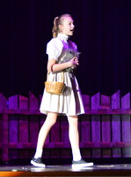
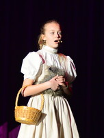
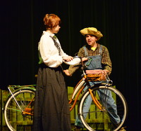
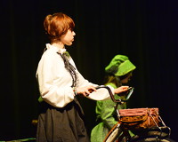
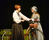
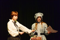
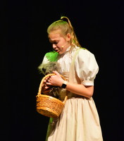
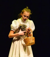
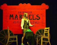
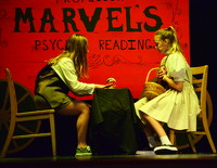
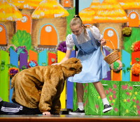
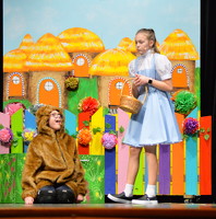
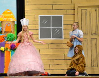
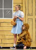
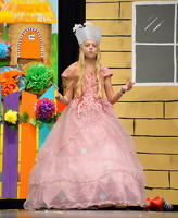
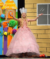
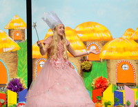
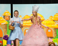
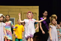
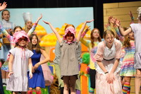
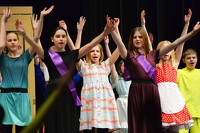
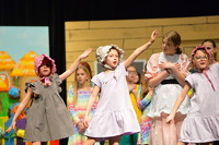
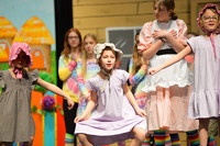
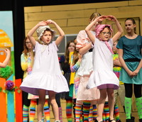
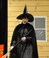
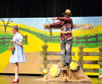
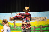
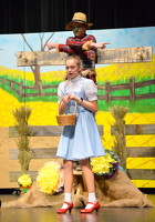
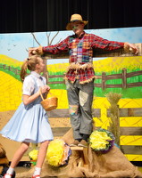
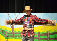
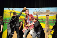
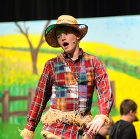
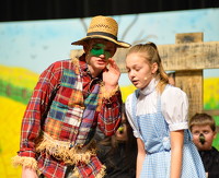
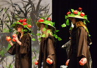
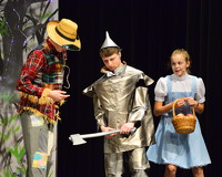
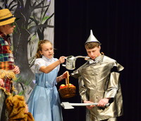
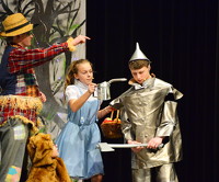
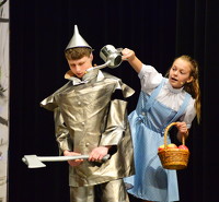
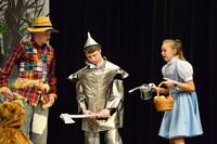
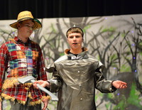
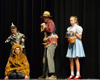
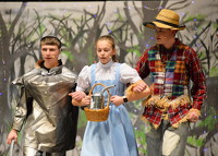
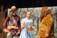
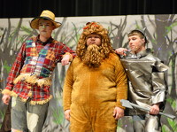
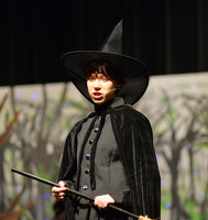
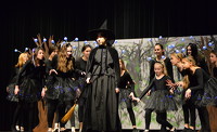
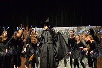
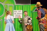
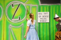
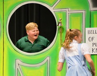
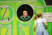
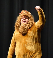
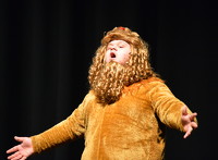
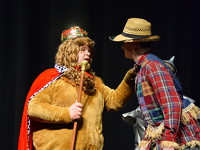
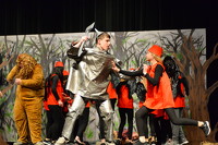
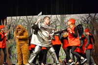
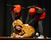
Coldwater Middle School held their dress rehearsal for "The Wizard of Oz" this week. Performances are 7 p.m. Thursday, Friday and Saturday and 1:30 p.m. Sunday in the Coldwater auditeria. Presale tickets are $7 for adults and $5 for students. All tickets at the door are $8. Presale ticket sales end at 5 p.m. today. Four show passes are $24 for adults and $16 for students.