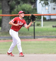
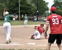
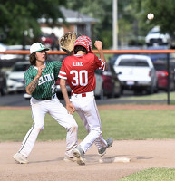
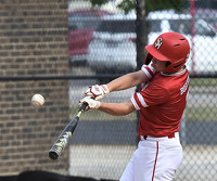
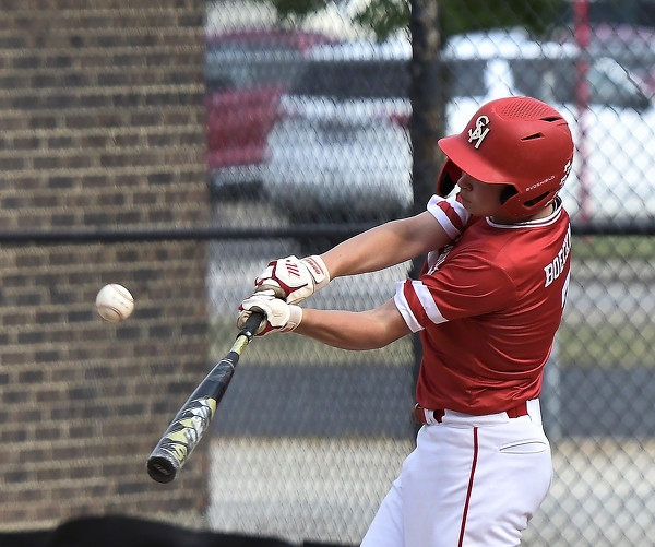
Celina vs St. Henry ACME baseball
22 of 23 pictures
Friday, July 1st, 2022
Photo by Nick Wenning/The Daily Standard
Special Weather Statement issued July 18 at 5:27PM EDT by NWS Wilmington OH (details ...)
At 526 PM EDT, strong thunderstorms were located along a line extending from Celina to 7 miles south of Kenton, moving east at 45 mph.
HAZARD...Wind gusts up to 45 mph and very heavy rain.
SOURCE...Radar indicated.
IMPACT...Gusty winds could knock down tree limbs and blow around unsecured objects. Visibility will be poor and hydroplaning is possible.
Locations impacted include... Sidney, Bellefontaine, Celina, Wapakoneta, St. Marys, New Bremen, Minster, Richwood, West Liberty, Anna, Fort Loramie, Jackson Center, Russells Point, De Graff, Botkins, Lakeview, New Knoxville, Belle Center, West Mansfield, and Chippewa Park.
This includes I-75 in Ohio between mile markers 93 and 113.
If outdoors, consider seeking shelter inside a sturdy building.
Motorists should slow down and use extra caution.
To report hazardous weather conditions, go to our website at weather.gov/iln and submit your report via social media, when you can do so safely.
Today 88° Today 88° chance 69° 69° Tomorrow 80° Tomorrow 80° 64° 64°
thum pict
thum pict
thum pict
thum pict
thum pict
thum pict
thum pict
thum pict
thum pict
thum pict
thum pict
thum pict
thum pict
thum pict
thum pict
thum pict
thum pict
thum pict
thum pict
thum pict
thum pict
thum pict
thum pict