Fire at JR Manufacturing, Fort Recovery

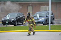
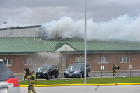
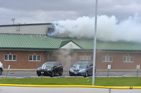
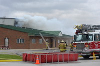
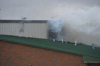
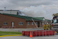
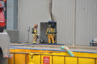
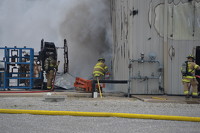
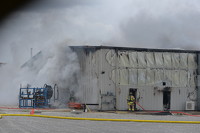
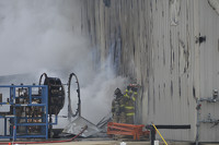
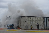
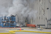
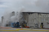
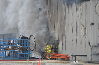
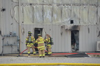
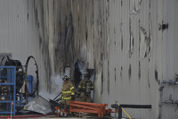
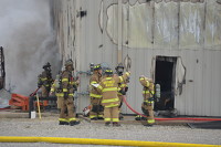
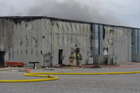
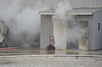
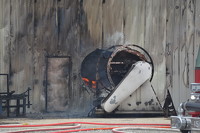
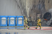
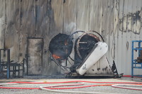
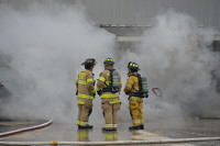
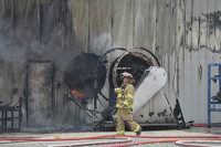
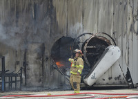
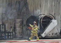
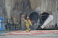
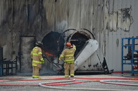
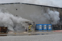
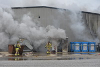
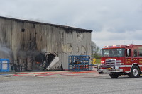
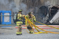
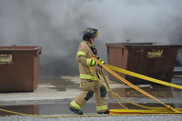
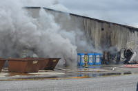
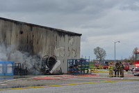
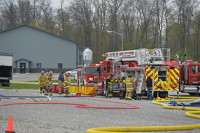
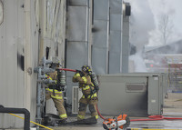
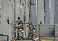
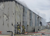
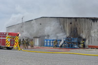
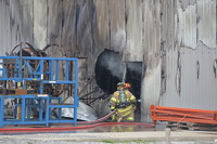
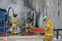
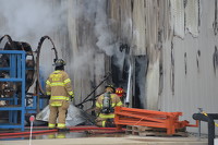
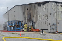
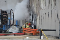
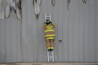
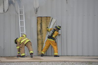
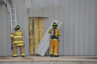
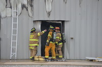
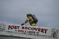
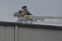
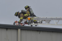
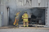
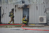
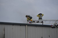
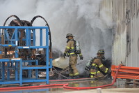
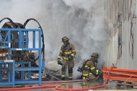
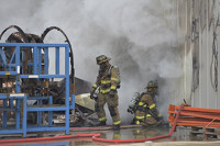
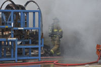
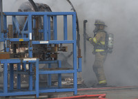
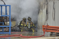
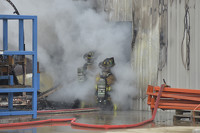
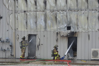
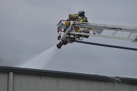
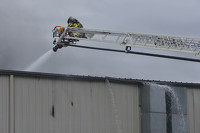
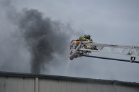
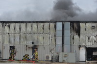
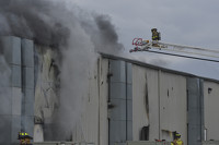
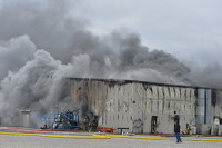
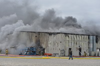
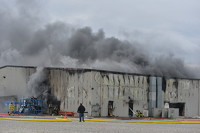
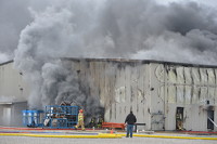
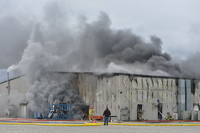
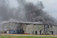
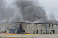
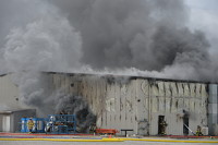
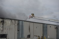
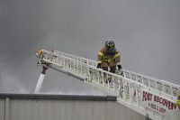
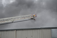
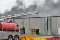
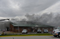
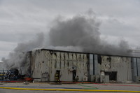
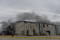
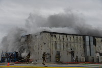
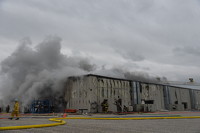
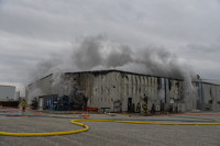
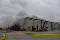
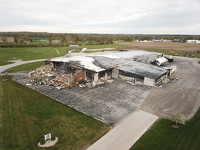
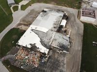
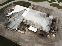
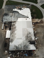
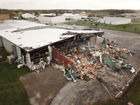
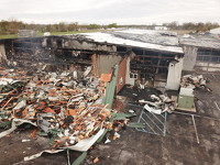
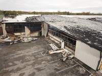
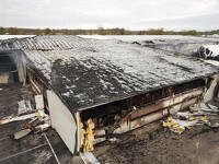
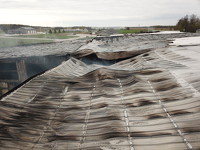
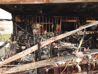
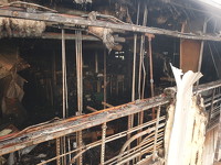
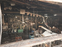
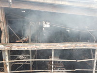
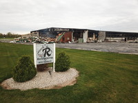
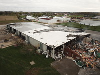
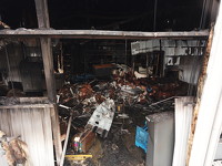
Saturday evening JR Manufacturing suffered a structure fire. Full details will be in Monday's Daily Standard.

93 of 105 pictures
Saturday, April 22nd, 2023
Photo by Daily Standard Staff
Special Weather Statement issued February 12 at 4:08PM EST by NWS Wilmington OH (details ...)
Dense fog will be likely into tonight. Use caution and remain alert for changes in visibility.
Winter Weather Advisory issued February 12 at 3:00PM EST until February 13 at 7:00AM EST by NWS Wilmington OH (details ...)
* WHAT...Mixed precipitation. Additional ice accumulations of a tenth to two tenths of an inch as well as light snow.
* WHERE...Auglaize, Darke, Hardin, Logan, Mercer, and Shelby Counties.
* WHEN...Until 7 AM EST Thursday.
* IMPACTS...Plan on slippery road conditions. The hazardous conditions could impact the Wednesday evening and Thursday morning commutes.
Dense Fog Advisory issued February 12 at 1:46PM EST until February 13 at 4:00AM EST by NWS Wilmington OH (details ...)
* WHAT...Visibility one quarter mile or less in dense fog.
* WHERE...Portions of southeast Indiana, northern Kentucky, and central, south central, southwest, and west central Ohio.
* WHEN...From 7 PM this evening to 4 AM EST Thursday.
* IMPACTS...Low visibility could make driving conditions hazardous.
Today 34° Today 34° light likely 26° 26° patchy Tomorrow 29° Tomorrow 29° 10° 10°
thum pict
thum pict
thum pict
thum pict
thum pict
thum pict
thum pict
thum pict
thum pict
thum pict
thum pict
thum pict
thum pict
thum pict
thum pict
thum pict
thum pict
thum pict
thum pict
thum pict
thum pict
thum pict
thum pict
thum pict
thum pict
thum pict
thum pict
thum pict
thum pict
thum pict
thum pict
thum pict
thum pict
thum pict
thum pict
thum pict
thum pict
thum pict
thum pict
thum pict
thum pict
thum pict
thum pict
thum pict
thum pict
thum pict
thum pict
thum pict
thum pict
thum pict
thum pict
thum pict
thum pict
thum pict
thum pict
thum pict
thum pict
thum pict
thum pict
thum pict
thum pict
thum pict
thum pict
thum pict
thum pict
thum pict
thum pict
thum pict
thum pict
thum pict
thum pict
thum pict
thum pict
thum pict
thum pict
thum pict
thum pict
thum pict
thum pict
thum pict
thum pict
thum pict
thum pict
thum pict
thum pict
thum pict
thum pict
thum pict
thum pict
thum pict
thum pict
thum pict
thum pict
thum pict
thum pict
thum pict
thum pict
thum pict
thum pict
thum pict
thum pict
thum pict
thum pict
thum pict
thum pict