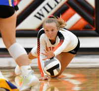
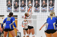
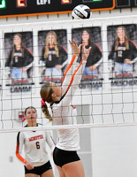
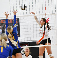
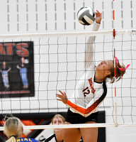
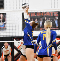
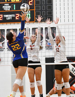
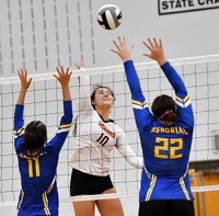
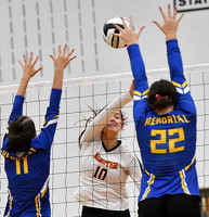
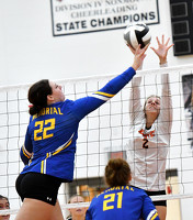
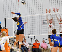
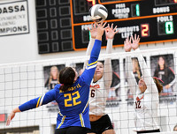
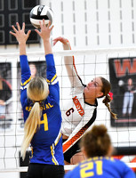
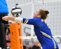
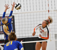
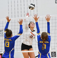
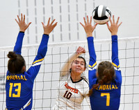
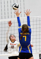
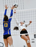
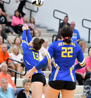
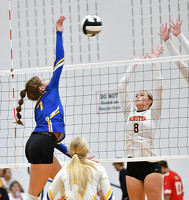
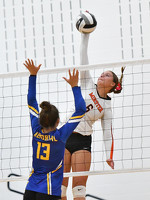
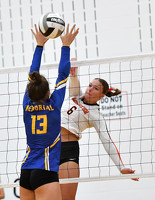
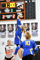
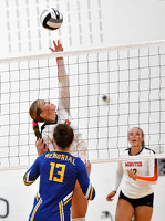
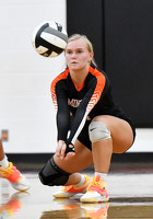
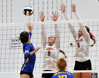
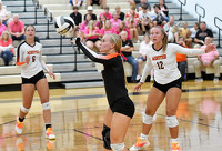
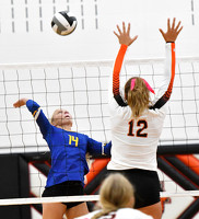
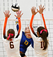
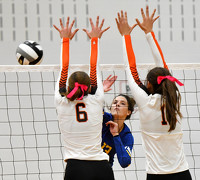
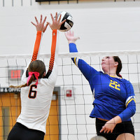
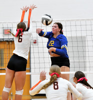
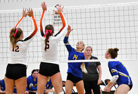
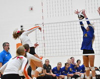
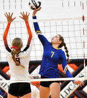
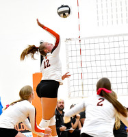
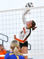
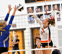
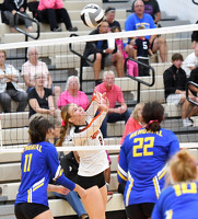
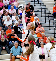
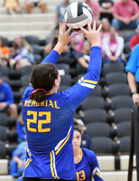
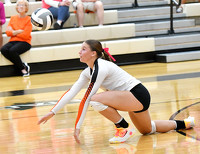
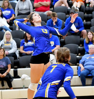
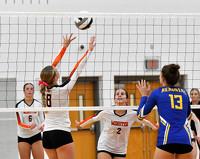
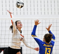
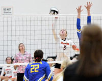
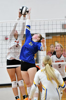
Minster vs St. Marys volleyball
38 of 53 pictures
Tuesday, September 12th, 2023
Photo by Nick Wenning/The Daily Standard
Special Weather Statement issued May 29 at 12:01AM EDT by NWS Wilmington OH (details ...)
At 1200 AM EDT, a strong thunderstorm was located near Jackson Center, moving east at 45 mph.
HAZARD...Wind gusts up to 50 mph, half inch hail, and frequent cloud-to-ground lightning.
SOURCE...Radar indicated.
IMPACT...Gusty winds could knock down tree limbs and blow around unsecured objects. Hail may cause minor damage to vegetation. Lightning can cause serious injury or death.
Locations impacted include... Sidney, Bellefontaine, Anna, Jackson Center, Russells Point, De Graff, Botkins, Lakeview, Belle Center, West Mansfield, Chippewa Park, Northwood, Quincy, Rushsylvania, Huntsville, Port Jefferson, Ridgeway, Valley Hi, Zanesfield, and Montra.
This includes I-75 in Ohio between mile markers 93 and 104.
If outdoors, consider seeking shelter inside a sturdy building.
When thunder roars, go indoors! Do not stay in the open or seek shelter under trees when lightning threatens.
To report hazardous weather conditions, go to our website at weather.gov/iln and submit your report via social media, when you can do so safely.
Today 71° Today 71° slight chance slight chance 53° 53° likely Tomorrow 65° Tomorrow 65° chance 45° 45° chance
thum pict
thum pict
thum pict
thum pict
thum pict
thum pict
thum pict
thum pict
thum pict
thum pict
thum pict
thum pict
thum pict
thum pict
thum pict
thum pict
thum pict
thum pict
thum pict
thum pict
thum pict
thum pict
thum pict
thum pict
thum pict
thum pict
thum pict
thum pict
thum pict
thum pict
thum pict
thum pict
thum pict
thum pict
thum pict
thum pict
thum pict
thum pict
thum pict
thum pict
thum pict
thum pict
thum pict
thum pict
thum pict
thum pict
thum pict
thum pict
thum pict
thum pict
thum pict
thum pict
thum pict