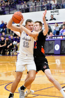
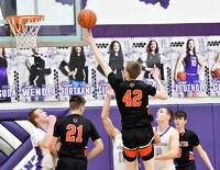
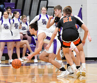
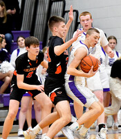
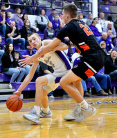
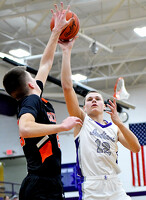
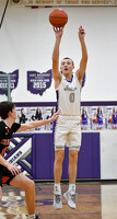
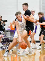
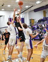
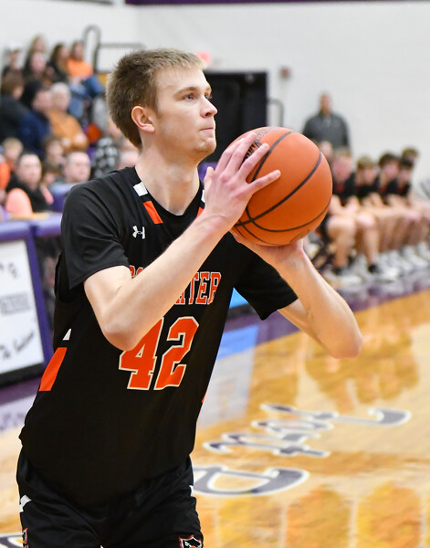
Coldwater vs Fort Recovery boys basketball
44 of 54 pictures
Friday, January 19th, 2024
Photo by Nick Wenning/The Daily Standard
Freeze Warning issued April 8 at 3:19AM EDT until April 8 at 11:00AM EDT by NWS Wilmington OH (details ...)
* WHAT...For the Freeze Warning, sub-freezing temperatures in the low to mid twenties. For the Freeze Watch, sub-freezing temperatures as low as 22 possible.
* WHERE...Portions of east central and southeast Indiana, northeast and northern Kentucky, and central, south central, southwest, and west central Ohio.
* WHEN...For the Freeze Warning, until 11 AM EDT this morning. For the Freeze Watch, from this evening through Wednesday morning.
* IMPACTS...Frost and freeze conditions could kill crops, other sensitive vegetation and possibly damage unprotected outdoor plumbing.
Freeze Watch issued April 8 at 3:19AM EDT until April 9 at 9:00AM EDT by NWS Wilmington OH (details ...)
* WHAT...For the Freeze Warning, sub-freezing temperatures in the low to mid twenties. For the Freeze Watch, sub-freezing temperatures as low as 22 possible.
* WHERE...Portions of east central and southeast Indiana, northeast and northern Kentucky, and central, south central, southwest, and west central Ohio.
* WHEN...For the Freeze Warning, until 11 AM EDT this morning. For the Freeze Watch, from this evening through Wednesday morning.
* IMPACTS...Frost and freeze conditions could kill crops, other sensitive vegetation and possibly damage unprotected outdoor plumbing.
Today 41° Today 41° 27° 27° Tomorrow 47° Tomorrow 47° light likely 40° 40° light
thum pict
thum pict
thum pict
thum pict
thum pict
thum pict
thum pict
thum pict
thum pict
thum pict
thum pict
thum pict
thum pict
thum pict
thum pict
thum pict
thum pict
thum pict
thum pict
thum pict
thum pict
thum pict
thum pict
thum pict
thum pict
thum pict
thum pict
thum pict
thum pict
thum pict
thum pict
thum pict
thum pict
thum pict
thum pict
thum pict
thum pict
thum pict
thum pict
thum pict
thum pict
thum pict
thum pict
thum pict
thum pict
thum pict
thum pict
thum pict
thum pict
thum pict
thum pict
thum pict
thum pict
thum pict