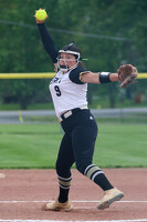
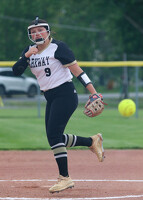
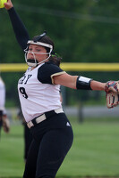
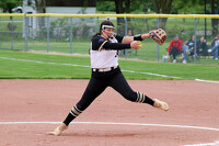
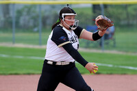
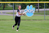
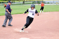
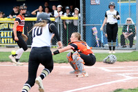
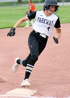
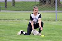
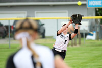
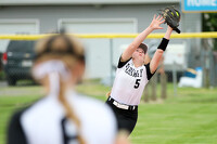
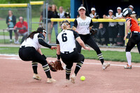
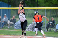
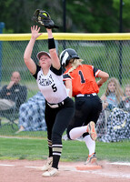
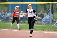
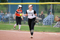
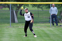
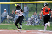
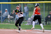
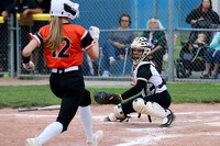
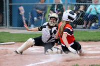
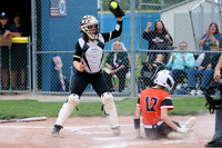
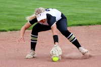
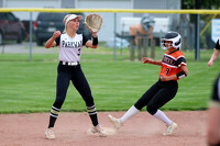
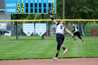
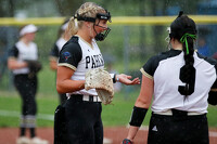
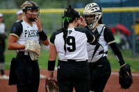
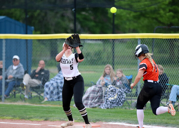
Parkway vs Van Buren softball
16 of 34 pictures
Tuesday, May 14th, 2024
Photo by Paige Sutter/The Daily Standard
Tornado Watch issued March 15 at 2:36AM EDT until March 15 at 10:00AM EDT by NWS Wilmington OH (details ...)
THE NATIONAL WEATHER SERVICE HAS ISSUED TORNADO WATCH 41 IN EFFECT UNTIL 10 AM EDT THIS MORNING FOR THE FOLLOWING AREAS
IN INDIANA THIS WATCH INCLUDES 8 COUNTIES
IN EAST CENTRAL INDIANA
FAYETTE UNION WAYNE
IN SOUTHEAST INDIANA
DEARBORN FRANKLIN OHIO RIPLEY SWITZERLAND
IN KENTUCKY THIS WATCH INCLUDES 7 COUNTIES
IN NORTHERN KENTUCKY
BOONE CAMPBELL CARROLL GALLATIN GRANT KENTON OWEN
IN OHIO THIS WATCH INCLUDES 10 COUNTIES
IN SOUTHWEST OHIO
BUTLER HAMILTON WARREN
IN WEST CENTRAL OHIO
AUGLAIZE DARKE MERCER MIAMI MONTGOMERY PREBLE SHELBY
THIS INCLUDES THE CITIES OF ALEXANDRIA, AURORA, BATESVILLE, BELLEVUE, BRIGHT, BROOKVILLE, BURLINGTON, CAMDEN, CARROLLTON, CELINA, COLDWATER, CONNERSVILLE, COVINGTON, CRITTENDEN, DAYTON, DILLSBORO, DOWNTOWN CINCINNATI, DOWNTOWN DAYTON, DRY RIDGE, EATON, ERLANGER, FAIRFIELD, FLORENCE, FORT THOMAS, FRANKLIN, GREENDALE, GREENVILLE, HAMILTON, HIDDEN VALLEY, HIGHLAND HEIGHTS, INDEPENDENCE, KETTERING, LANDEN, LAWRENCEBURG, LEBANON, LIBERTY, MASON, MIDDLETOWN, MILAN, MINSTER, NEW BREMEN, NEWPORT, OAKBROOK, OSGOOD, OWENTON, OXFORD, PIQUA, RICHMOND, RISING SUN, SIDNEY, SPRINGBORO, ST. MARYS, TIPP CITY, TROY, VERSAILLES, VEVAY, WAPAKONETA, WARSAW, WEST COLLEGE CORNER, AND WILLIAMSTOWN.
Wind Advisory issued March 14 at 8:19PM EDT until March 15 at 8:00PM EDT by NWS Wilmington OH (details ...)
* WHAT...South winds 15 to 25 mph with gusts up to 50 mph expected.
* WHERE...Portions of east central and southeast Indiana and central, southwest, and west central Ohio.
* WHEN...From 2 AM to 8 PM EDT Saturday.
* IMPACTS...Gusty winds will blow around unsecured objects. Tree limbs could be blown down and a few power outages may result.
59° 59° likely Sat 71° Sat 71° likely chance 44° 44° Sun 53° Sun 53°
thum pict
thum pict
thum pict
thum pict
thum pict
thum pict
thum pict
thum pict
thum pict
thum pict
thum pict
thum pict
thum pict
thum pict
thum pict
thum pict
thum pict
thum pict
thum pict
thum pict
thum pict
thum pict
thum pict
thum pict
thum pict
thum pict
thum pict
thum pict
thum pict
thum pict
thum pict
thum pict
thum pict
thum pict