The Daily Standard
Photo Albums
Menu
▼
Home
Subscribe
E-Edition
Archives
▼
Archives
Obituary Archives
Photo Albums
Podcasts
▼
Podcasts
Video
Classifieds
▼
Classifieds
Public Notices
Weather
Sports
More
▼
Contacts
Advertising
Subscription Payment
Community Pictures
Historical Maps
Forms
Locations
Elections
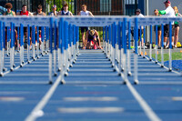
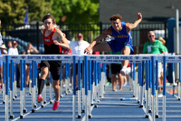
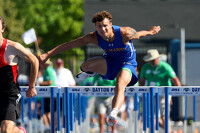
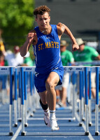
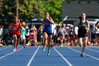
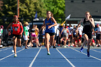
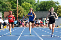
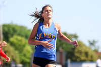
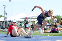
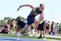
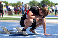
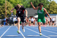
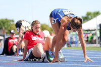
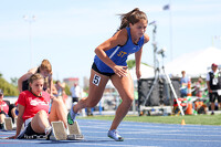
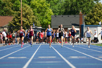
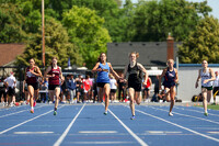
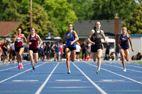
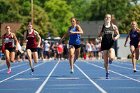
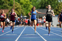
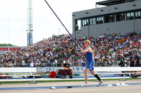
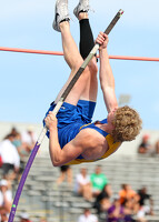
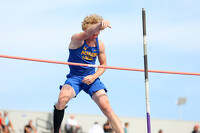
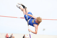
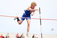
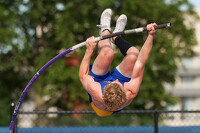
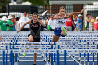
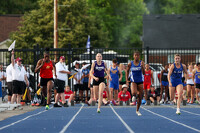
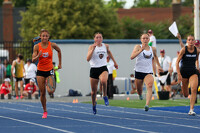
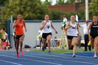
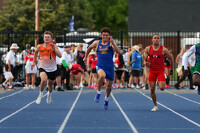
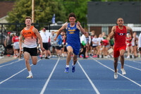
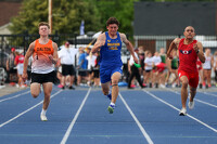
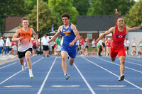
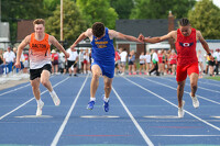
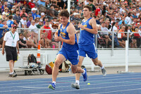
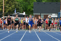
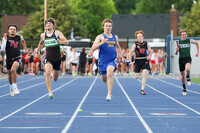
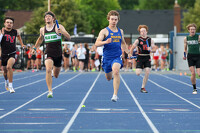
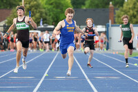
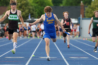
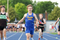
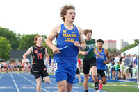
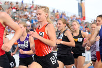
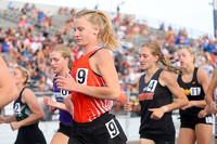
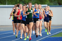
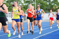
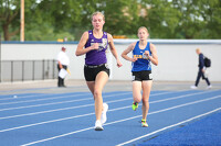
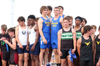
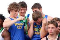
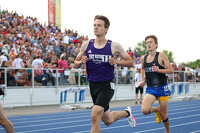
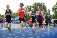
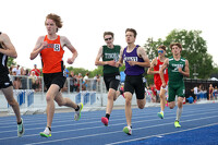
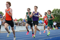
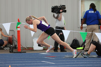
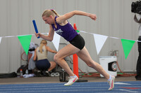
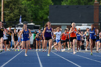
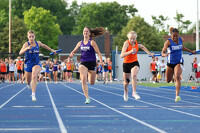
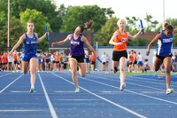
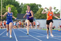
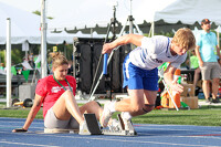
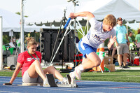
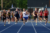
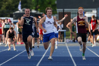
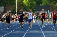
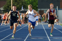
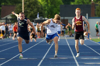
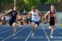
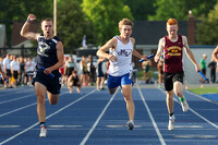
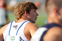
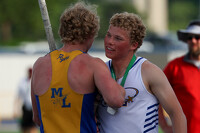
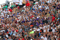
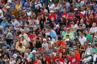
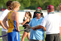
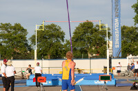
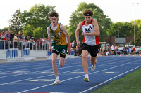
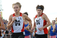
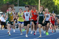
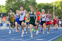
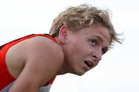
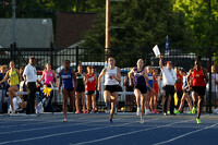
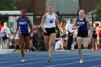
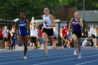
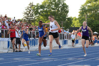
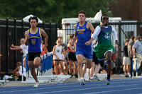
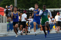
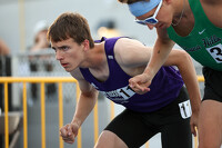
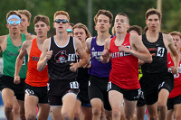
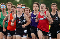
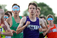
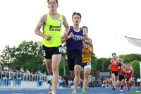
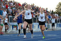
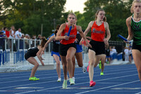
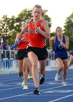
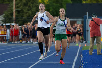
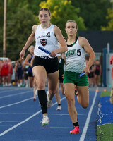
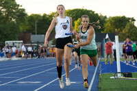
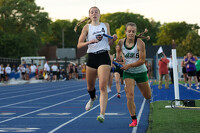
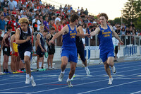
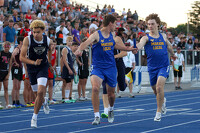
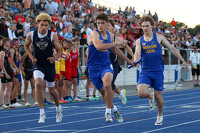
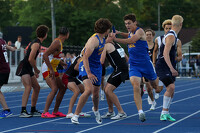
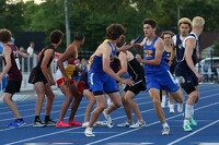
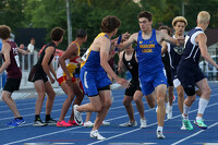
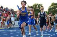
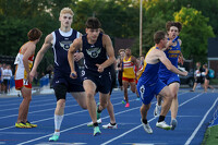
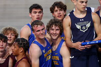
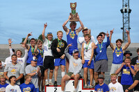
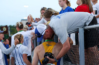
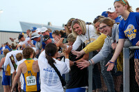
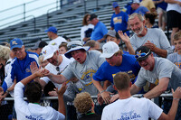
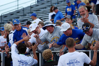
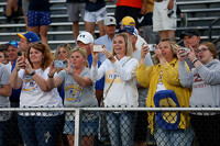
State Track Championships day 2
41 of 224 pictures
Friday, May 31st, 2024
Photo by Paige Sutter/The Daily Standard
All photo albums
Purchase prints of these pictures
Today
75°
Today
75°
62°
62°
Tomorrow
72°
Tomorrow
72°
chance
59°
59°
slight
chance
<!--Unsupported browser-->
Copyright © 2026 Standard Printing Co. All Rights Reserved