Special Weather Statement issued July 28 at 6:21PM EDT by NWS Wilmington OH (details ...)
At 621 PM EDT, a strong thunderstorm was located over Ohio City, moving south at 20 mph. HAZARD...Wind gusts up to 45 mph and very heavy rain. SOURCE...Radar indicated. IMPACT...Gusty winds could knock down tree limbs and blow around unsecured objects. Visibility will be poor and hydroplaning is possible. Locations impacted include... Rockford, Wabash, Mendon, Chattanooga, Neptune, Kossuth, State Route 116 at State Route 197, and Tama. If outdoors, consider seeking shelter inside a sturdy building. Motorists should slow down and use extra caution. To report hazardous weather conditions, go to our website at weather.gov/iln and submit your report via social media, when you can do so safely.
Heat Advisory issued July 28 at 1:37PM EDT until July 29 at 8:00PM EDT by NWS Wilmington OH (details ...)
* WHAT...Heat index values up to 100 expected. * WHERE...Portions of central and west central Ohio. * WHEN...From 11 AM to 8 PM EDT Tuesday. * IMPACTS...Hot temperatures and high humidity may cause heat illnesses.
Monday, November 1st, 2021
Photo by Dan Melograna/The Daily Standard
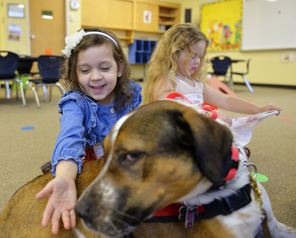
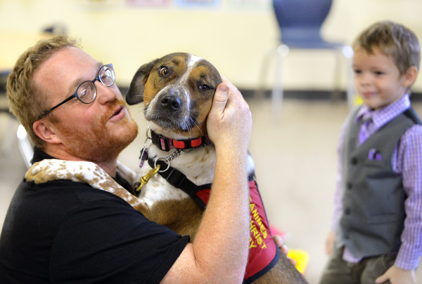
Noelle Lyons, left, is all smiles as she and Olivia Rinderle play with Tolin, a certified therapy dog through Canines for Christ Therapy Dog Ministries.
CELINA - Grand Lake United Methodist Church staff member Tolin can often be found strolling around the children's hall on Wednesday nights and Sunday mornings. [More]