Special Weather Statement issued April 19 at 9:54AM EDT by NWS Wilmington OH (details ...)
At 954 AM EDT, a strong thunderstorm was located near Newport, moving east at 55 mph.
HAZARD...Wind gusts up to 40 mph and pea size hail.
SOURCE...Radar indicated.
IMPACT...Gusty winds could knock down tree limbs and blow around unsecured objects. Hail may cause minor damage to vegetation.
Locations impacted include... Montra, Newbern, New Jerusalem, Lockington, Ridgeway, Woodstock, Botkins, Mount Victory, Millerstown, Kiser Lake State Park, Hardin, Pemberton, Piqua, West Mansfield, East Liberty, St. Paris, Logansville, Belle Center, North Lewisburg, and Lakeview.
This includes I-75 in Ohio between mile markers 77 and 106.
If outdoors, consider seeking shelter inside a sturdy building.
To report hazardous weather conditions, go to our website at weather.gov/iln and submit your report via social media, when you can do so safely.
Today 66° Today 66° 48° 48° chance Tomorrow 64° Tomorrow 64° slight chance 58° 58° chance
Monday, September 18th, 2023
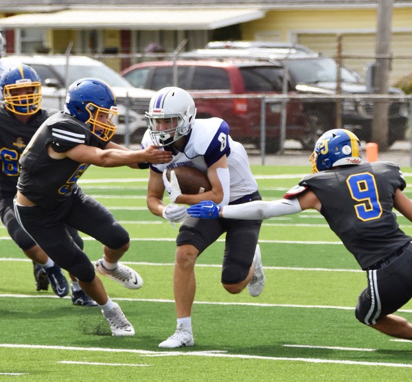
Fort Recovery cedes 20-point lead, falls to St. John's in OT
By Tom Haines
DELPHOS - When Reece Guggenbiller scored just 1:08 into the third quarter, Fort Recovery seemed poised for its first win of the year.
Instead, Delphos St. John's erased a 20-point deficit to force overtime and then got a 20-yard touchdown pass from backup quarterback Drew Boggs to TJ Werts to stun the Indians 41-34 in a Midwest Athletic Conference football game at Stadium Park on Saturday. [More]
Local pictures on September 18th, 2023
Subscriber stories on September 18th, 2023
CELINA - Locals, some in patriotic attire, joined Mercer County officials on Sunday at the Mercer County Courthouse lawn to celebrate the building's 100th anniversary.
Compiled By Tom Haines and Gary R. Rasberry
Area boys golf teams traveled to the Mercer County Invitational on Saturday for the first Nate Niekam