Special Weather Statement issued April 19 at 9:54AM EDT by NWS Wilmington OH (details ...)
At 954 AM EDT, a strong thunderstorm was located near Newport, moving east at 55 mph.
HAZARD...Wind gusts up to 40 mph and pea size hail.
SOURCE...Radar indicated.
IMPACT...Gusty winds could knock down tree limbs and blow around unsecured objects. Hail may cause minor damage to vegetation.
Locations impacted include... Montra, Newbern, New Jerusalem, Lockington, Ridgeway, Woodstock, Botkins, Mount Victory, Millerstown, Kiser Lake State Park, Hardin, Pemberton, Piqua, West Mansfield, East Liberty, St. Paris, Logansville, Belle Center, North Lewisburg, and Lakeview.
This includes I-75 in Ohio between mile markers 77 and 106.
If outdoors, consider seeking shelter inside a sturdy building.
To report hazardous weather conditions, go to our website at weather.gov/iln and submit your report via social media, when you can do so safely.
Today 66° Today 66° 48° 48° chance Tomorrow 64° Tomorrow 64° slight chance 58° 58° chance
Saturday, March 16th, 2024
Photo by Ryan Snyder/The Daily Standard

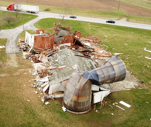
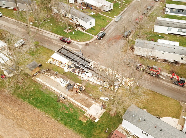
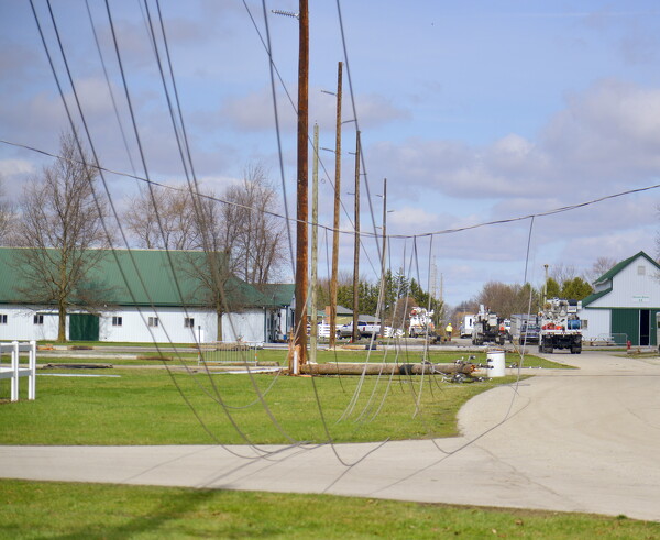
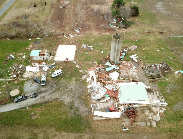
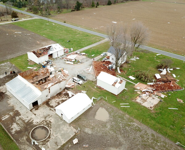
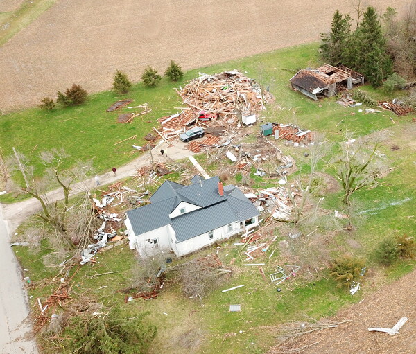
At this farm along US Route 33 west of St. Marys, a silo is bent in half and the old barn half blown apart and half flattened. Crews from Midwest Electric work to repair power lines along the road.

Related online story:
CELINA - Two EF1 tornadoes packing winds up to 110 mph tore through Mercer County on Thursday evening, the National Weather Service in Wilmington confirmed on Friday. [More]
Additional pictures on this date