Fort Recovery presents Princess Whatsername

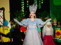
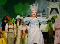
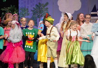
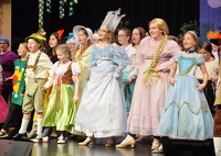
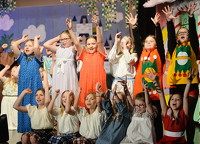
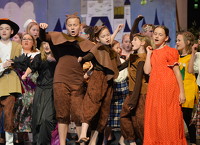
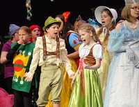
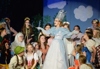
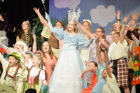
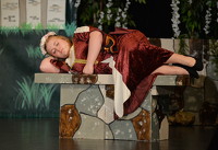
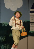
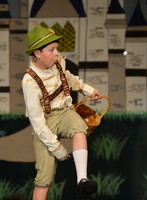
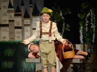
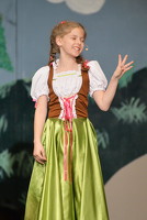
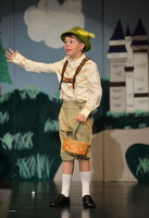
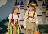
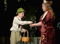
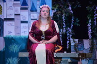
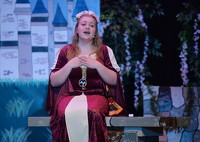
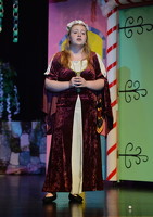
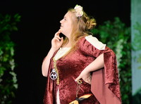
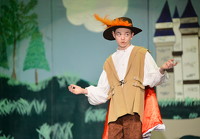
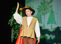
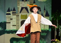
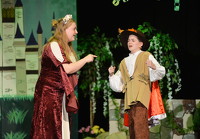
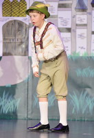
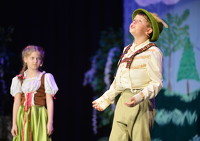
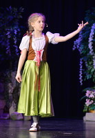
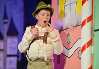
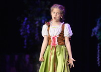
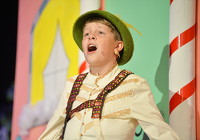
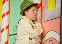
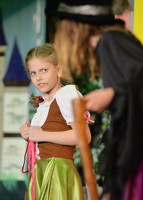
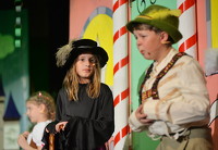
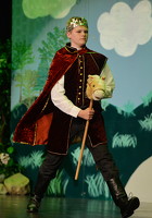
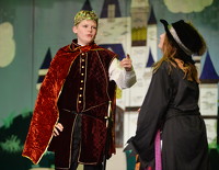
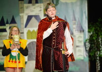
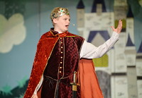
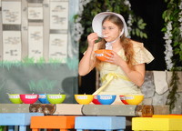
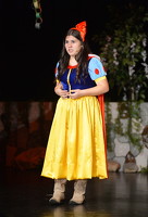
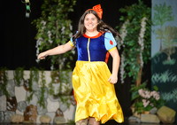
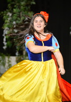
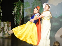
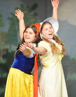
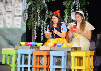
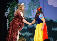
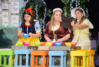
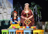
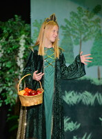
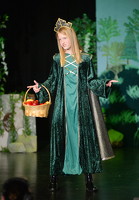
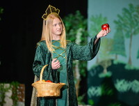
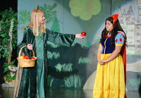
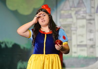
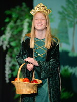
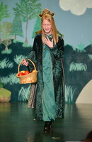
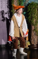
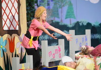
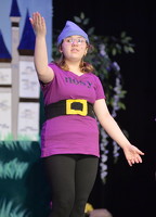
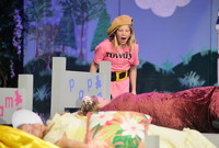
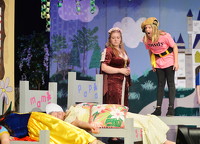
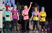
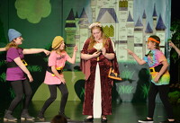
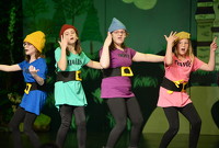
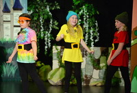
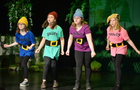
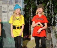
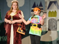
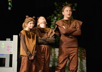
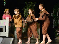
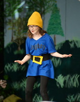
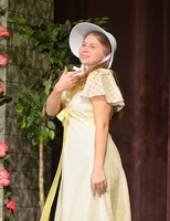
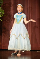
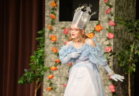
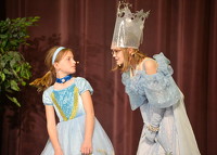
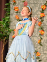
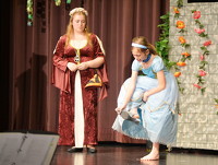
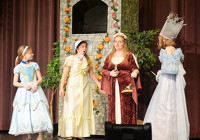
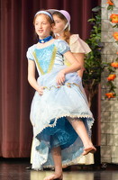
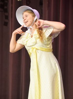
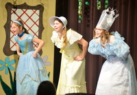
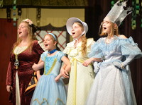
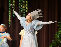
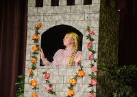
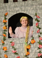
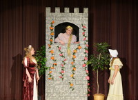
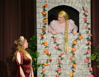
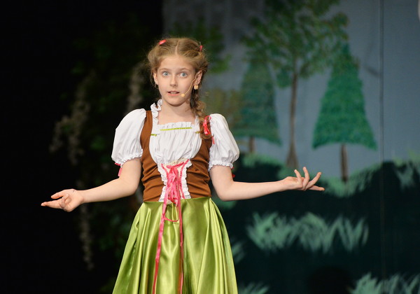
Performances are at 7 p.m. Saturday and 2 p.m. Sunday at the Fort Recovery Elementary and Middle School. Tickets at the door are $8 for adults and $6 for students.

18 of 115 pictures
Thursday, April 13th, 2023
Photo by Paige Sutter/The Daily Standard
Special Weather Statement issued June 2 at 8:48PM EDT by NWS Wilmington OH (details ...)
At 845 PM EDT, showers were located along a line extending from near Belle Center to 6 miles west of Greenville, moving southeast at 10 mph.
HAZARD...Wind gusts up to 45 mph. These showers may be capable of producing weak funnel clouds. These types of funnel clouds seldom touch down, but if they do, they could produce minor tree damage.
SOURCE...Law enforcement reported a weak funnel cloud in northern Logan County.
IMPACT...Gusty winds could knock down tree limbs and blow around unsecured objects.
Locations impacted include... Sidney, Piqua, Bellefontaine, Greenville, Kenton, Minster, Versailles, Covington, Arcanum, Newport, Bradford, Union City, Anna, Fort Loramie, Jackson Center, Russells Point, De Graff, Ansonia, Botkins, and Lakeview.
This includes I-75 in Ohio between mile markers 80 and 104.
If outdoors, consider seeking shelter inside a sturdy building.
To report hazardous weather conditions, go to our website at weather.gov/iln and submit your report via social media, when you can do so safely.
60° 60° Mon 84° Mon 84° 65° 65° Tue 87° Tue 87° chance
thum pict
thum pict
thum pict
thum pict
thum pict
thum pict
thum pict
thum pict
thum pict
thum pict
thum pict
thum pict
thum pict
thum pict
thum pict
thum pict
thum pict
thum pict
thum pict
thum pict
thum pict
thum pict
thum pict
thum pict
thum pict
thum pict
thum pict
thum pict
thum pict
thum pict
thum pict
thum pict
thum pict
thum pict
thum pict
thum pict
thum pict
thum pict
thum pict
thum pict
thum pict
thum pict
thum pict
thum pict
thum pict
thum pict
thum pict
thum pict
thum pict
thum pict
thum pict
thum pict
thum pict
thum pict
thum pict
thum pict
thum pict
thum pict
thum pict
thum pict
thum pict
thum pict
thum pict
thum pict
thum pict
thum pict
thum pict
thum pict
thum pict
thum pict
thum pict
thum pict
thum pict
thum pict
thum pict
thum pict
thum pict
thum pict
thum pict
thum pict
thum pict
thum pict
thum pict
thum pict
thum pict
thum pict
thum pict
thum pict
thum pict
thum pict
thum pict
thum pict
thum pict
thum pict
thum pict
thum pict
thum pict
thum pict
thum pict
thum pict
thum pict
thum pict
thum pict
thum pict
thum pict
thum pict
thum pict
thum pict
thum pict
thum pict
thum pict
thum pict
thum pict
thum pict
thum pict