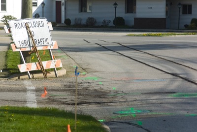
Flood Watch issued August 19 at 7:53PM EDT until August 20 at 10:00AM EDT by NWS Wilmington OH (details ...)
* WHAT...Flash flooding caused by excessive rainfall continues to be possible. * WHERE...Portions of east central Indiana, including the following counties, Fayette, Union and Wayne and Ohio, including the following counties, Auglaize, Champaign, Clark, Darke, Delaware, Fairfield, Fayette, Franklin, Greene, Hardin, Hocking, Licking, Logan, Madison, Mercer, Miami, Montgomery, Pickaway, Preble, Shelby and Union. * WHEN...Through Thursday morning. * IMPACTS...Excessive runoff may result in flooding of rivers, creeks, streams, and other low-lying and flood-prone locations. * ADDITIONAL DETAILS... - Repeated rounds of storms, combined with the extremely wet soil conditions will increase the risk for flash flooding into the overnight hours.
Flash Flood Warning issued August 20 at 5:32AM EDT until August 20 at 9:30AM EDT by NWS Wilmington OH (details ...)
FFWILN The National Weather Service in Wilmington has issued a * Flash Flood Warning for... Northwestern Union County in central Ohio... Northeastern Auglaize County in west central Ohio... Hardin County in west central Ohio... Northern Logan County in west central Ohio... Northeastern Shelby County in west central Ohio... * Until 930 AM EDT. * At 532 AM EDT, radar and automated rain gauges indicated heavy rain falling across the warned area. Between 1 and 3 inches of rain have fallen. The expected rainfall rate is 1 to 2 inches in 1 hour. Additional rainfall amounts of 1 to 2 inches are possible. Flash flooding is ongoing or expected to begin shortly. HAZARD...Life threatening flash flooding. Heavy rain producing flash flooding. SOURCE...Radar and automated gauges. IMPACT...Life threatening flash flooding of creeks and streams, urban areas, highways, streets and underpasses. * Some locations that may experience flash flooding include... Wapakoneta, Kenton, Fort Shawnee, Cridersville, Jackson Center, Russells Point, Botkins, Lakeview, Alger, Waynesfield, Belle Center, West Mansfield, Chippewa Park, Northwood, Roundhead, Mount Victory, Rushsylvania, Mcguffey, Huntsville and Ridgeway.
Flood Warning issued August 19 at 10:36PM EDT until August 20 at 7:00AM EDT by NWS Wilmington OH (details ...)
* WHAT...Flooding caused by excessive rainfall continues. * WHERE...Southeastern Auglaize County in west central Ohio... Southern Logan County in west central Ohio... Central Shelby County in west central Ohio... * WHEN...Until 700 AM EDT Thursday. * IMPACTS...Flooding of rivers, creeks, streams, and other low-lying and flood-prone locations is imminent or occurring. * ADDITIONAL DETAILS... - At 1036 PM EDT, emergency management reported flooding in the warned area. Between 3 and 6 inches of rain have fallen. Additional rainfall amounts up to 0.5 inches are possible. - Some locations that may experience flooding include... Sidney, Bellefontaine, Newport, West Liberty, Anna, Fort Loramie, De Graff, Quincy, Port Jefferson, Valley Hi, Zanesfield, Maplewood, Pemberton, Logansville, Mcmorran, Swanders, Pickrelltown, New Jerusalem and Lake Loramie State Park.
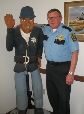
Longtime officer led police department for 33 years
By Margie Wuebker
NEW BREMEN - Local police chief Doug Harrod remembers his first day as an Auglaize County law enforcement officer.
He walked into the Wapakoneta Police Department on his 21st birthday. Then-chief Bill Wolfe ordered "Don't get into trouble" as he tossed the rookie 18 rounds of ammunition for his gun and the keys to a cruiser. [More]
VERSAILLES - The Versailles Tigers stayed alive in the Midwest Athletic Conference baseball title race as they pounded the St. Henry Redskins 8-0 on Monday afternoon.
COLDWATER - Back-to-back home runs in the top of the first inning helped spark Parkway's softball team to a 9-1 win over Coldwater in Midwest Athletic Conference play on Monday at Lady Cav Diamond.